1 / 16

Boeing Vertol Fire 4-13-14

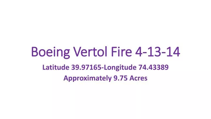
Boeing Vertol Fire 4-13-14. Latitude 39.97165-Longitude 74.43389 Approximately 9.75 Acres. Apparatus. Brush 36 Brush 56 Brush 37 Brush 57 B-22 State Plow Chiefs 3 & 5 Natural Resources. Site Map. Conditions on arrival. From Up-Wind. Road next to Boeing Vertol.

davis
Download Presentation

Boeing Vertol Fire 4-13-14

An Image/Link below is provided (as is) to download presentation Download Policy: Content on the Website is provided to you AS IS for your information and personal use and may not be sold / licensed / shared on other websites without getting consent from its author. Content is provided to you AS IS for your information and personal use only. Download presentation by click this link. While downloading, if for some reason you are not able to download a presentation, the publisher may have deleted the file from their server. During download, if you can't get a presentation, the file might be deleted by the publisher.

E N D

Presentation Transcript


  1. Boeing Vertol Fire 4-13-14 Latitude 39.97165-Longitude 74.43389 Approximately 9.75 Acres

  2. Apparatus • Brush 36 • Brush 56 • Brush 37 • Brush 57 • B-22 • State Plow • Chiefs 3 & 5 • Natural Resources

  3. Site Map

  4. Conditions on arrival

  5. From Up-Wind

  6. Road next to Boeing Vertol

  7. USGSR.A.W.S.Fire WeatherTowerLat. 39.97326Long. 74.43401

  8. Area around RAWS Tower cleared

  9. RAWS Tower Wiring

  10. RAWS Tower Power

  11. RAWS Batteries Saved

  12. State Plow Called In

  13. Initial Plow Line

  14. Jump

  15. Small Jump

  16. Old Plow Lines

More Related