Download
1 / 14
170 likes | 206 Views
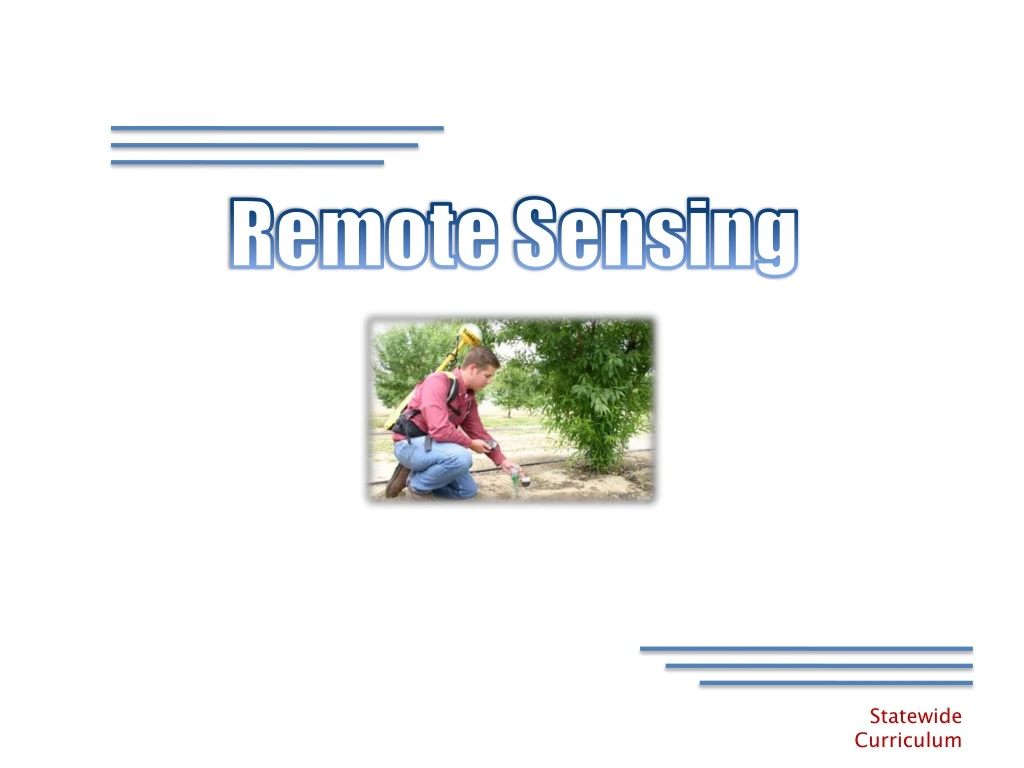
Remote Sensing. What is Remote Sensing?. “The acquisition of information about an object without being in physical contact with it." (Charles Elachi) Value is the Ability to Acquire a lot of information In a very short time With minimal labor input. Platforms.

E N D
What is Remote Sensing? • “The acquisition of information about an object without being in physical contact with it." (Charles Elachi) • Value is the Ability to • Acquire a lot of information • In a very short time • With minimal labor input
Platforms • Done with many different platforms • Satellites • Aircraft • Mobile Platform Precision Agriculture – Lesson 4
Interaction Precision Agriculture – Lesson 4
Electromagnetic Energy • Involves the measurement of electromagnetic energy Precision Agriculture – Lesson 4
Electromagnetic Spectrum Precision Agriculture – Lesson 4
Indices • Normalized Difference Vegetation Index (NDVI) • (NIR - VIS)/(NIR + VIS) • Calibrated Vegetation Map • Enhanced Vegetation Index (EVI) • Vegetation Change Map • Greenness Index • Soil Color Map
Indices Precision Agriculture – Lesson 4
Measures of Performance • Spatial Resolution • Spectral Response • Spectral Resolution • Frequency of Coverage Precision Agriculture – Lesson 4
Spatial Resolution • The size of the smallest object that can be distinguished in an image. Precision Agriculture – Lesson 4
Spectral Response • The ability to respond to radiation measurements within a spectral band. Precision Agriculture – Lesson 4
Spectral Resolution • The ability to differentiate between electromagnetic radiation of different wavelengths. Landsat TM image (bands 6-4-2) Alto Image (comparable bands Precision Agriculture – Lesson 4
Frequency of Coverage • How often a sensing system is available to collect data.
Other Considerations • Timeliness of Provider • Cost of Service • Projection and Coordinate System Used • Ground Truthing