Download
1 / 17
170 likes | 280 Views
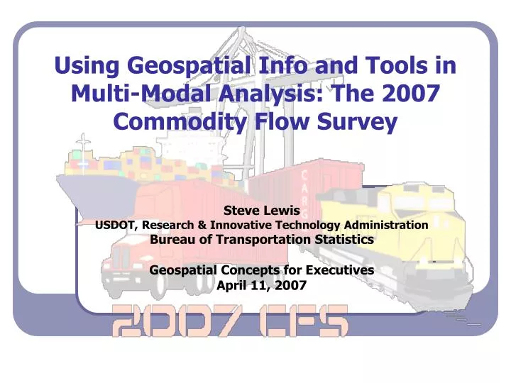
Using Geospatial Info and Tools in Multi-Modal Analysis: The 2007 Commodity Flow Survey. Steve Lewis USDOT, Research & Innovative Technology Administration Bureau of Transportation Statistics Geospatial Concepts for Executives April 11, 2007. Background: What is the CFS?.

E N D
Using Geospatial Info and Tools in Multi-Modal Analysis: The 2007 Commodity Flow Survey Steve Lewis USDOT, Research & Innovative Technology Administration Bureau of Transportation Statistics Geospatial Concepts for Executives April 11, 2007
Background: What is the CFS? • Freight survey of U.S. businesses (shippers) • Performed by RITA/BTS in partnership with the Census Bureau • Previous surveys in 1993, 1997, and 2002 as part of the U.S. Economic Census • Provides data on actual shipments by mode of transportation www.bts.gov
Background: The Need Part of major performance push to: • Improve overall efficiency of estimating distances in the RITA/BTS 2007 Commodity Flow Survey • Improve the methods used in generating the shipment mileages • Improve the quality of mileage information reported in the survey www.bts.gov
Why CFS Mileage Calculation? • Shippers generally do not know distance shipments travel • Survey asks for origin and destination ZIP codes • Mileages are calculated for each shipment by mode (highway, rail, water, air, parcel and pipeline) • Modal-mileages are critical for ton-miles www.bts.gov
The Mileage Calculation Problem • Large proportion of shipments are multi-modal • Few national level, multi-modal GIS networks available • Few (if any) commercial routing routines with mode-change logic • In a multimodal trip, when/where does the mode change take place www.bts.gov
The Solution: A Geospatial Approach • Develop a geospatial-based tool GeoMiler based on current GIS technology and robust network data • Develop core multi-modal routing models for domestic and export shipments for all modes • Integrate map visualization tool to help Analysts better estimate mileages for problematic records www.bts.gov
GeoMiler: Logical System Flow INPUT DATA Census Bureau OUTPUT DATA Census Bureau Pre-Processor (Geographic info correction) Post-Processor Modification, flag, and QA Data Processor Mileage Solver (Multi-modal & Export) Route solver Map Interface (Path verification & presentation) Mapping Interface www.bts.gov
The Mileage Calculation Process Required Data Input • Valid Origin ZIP Code • Valid Destination ZIP Code; if an export, valid Country Name (valid City Name for Canada and Mexico) • Mode or Mode Sequence • Commodity Type, particularly hazmat • Commodity Weight www.bts.gov
Input from Survey Form www.bts.gov
Building GeoMiler: GIS Basis • Fully integrated GIS based tool • Seamless functionality with fully mechanized geographic info correction • Multimodal pathfinder and distance solver • ArcGIS 9.1 and Network Analyst • Route and OD solvers for estimations • ArcMap for visualization of routes www.bts.gov
Building GeoMiler: GIS Networks • Roads – TeleAtlas DynaMap Transportation • Rail – FRA Rail Network • Water – USACE Navigable Waterway Network • Air – Based on BTS Office of Airline Information and Official Airline Guide • Pipelines – Great Circle Distance www.bts.gov
Modeling Multimodal Transfer TRUE ORIGIN Highway network Modal spatial joins Truck-Rail transfer facility Rail network TRUE DESTINATION Modal spatial joins Truck-Rail transfer facility Highway network www.bts.gov
Spotsylvania, VA - Chicago: Multimodal Truck->Rail www.bts.gov
Shenadoah, WV – Wendell, MA: Multimodal Rail->Water->Rail->Truck www.bts.gov
Ashland, MA - Frederick, MD: Multimodal Truck-> Air (Dulles)->Truck www.bts.gov
GeoMiler: Beyond the CFS?? • Offers possible solutions for other geospatial needs • Capability for other uses and applications beyond CFS distance calculation • BTS interested in partnering with other federal agencies with comparable geospatial needs and challenges www.bts.gov
Questions or Comments? Steve Lewis steve.lewis@dot.gov (202) 366-9223 www.bts.gov