Download
1 / 9
90 likes | 248 Views
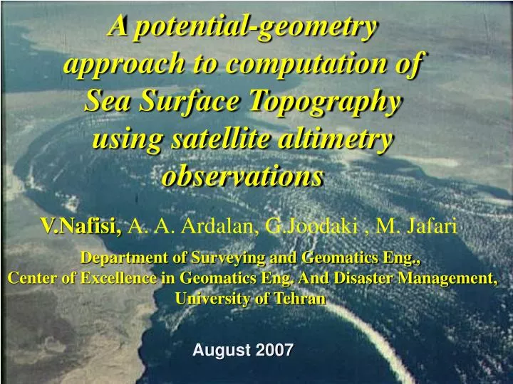
A potential-geometry approach to computation of Sea Surface Topography using satellite altimetry observations. V.Nafisi, A. A. Ardalan, G.Joodaki , M. Jafari. Department of Surveying and Geomatics Eng., Center of Excellence in Geomatics Eng. And Disaster Management, University of Tehran.

E N D
A potential-geometry approach to computation of Sea Surface Topography using satellite altimetry observations V.Nafisi, A. A. Ardalan, G.Joodaki , M. Jafari Department of Surveying and Geomatics Eng., Center of Excellence in Geomatics Eng. And Disaster Management, University of Tehran August 2007
Objective - Use of the satellite altimetry observations as a suitable tool for mrine geoid computation. - Use of Geopotential models with an ellipsoidal Bruns formula, to produce reliable geoid solution at the sea area. - Computing the marine geoid with using the MSL model via the ellipsoidal harmonic coefficients in the Persian Gulf and Oman Sea. - Computing the Sea Surface Topography (SST) with the MSL value. - Testing the newly SST against on the SST solutions available for the same region.
The potential-geometry approach Flowchart Compute MSL point-wise via analysis of satellite altimetry observations Compute gravity potential of the points on the reference Ellipsoid Subtract the Geoid potential value from the Ellipsoid Potential Value to derive Geoid Undulation in potential space Transfer the marine Geoid from potential space into geometry space using Bruns’ formula Subtract marine Geoid from MSL in geometry space to compute SST
Numerical Results Gravity potential of ellipsoid at 720 computational points, computed based on the ellipsoidal geopotential model SEGEN
Numerical Results Bruns type formulas, or transformations, can be used to convert the computed potential difference into height differences i.e. Geoid undulations. To keep the ellipsoidal approximation we use the following non-linear ellipsoidal Bruns formula (Ardalan,1999):
Numerical Results The marine Geoid computed at Persian Gulf and Oman Sea.
Numerical Results SST computed by subtraction of marine Geoid from MSL at Persian Gulf and Oman Sea.
Concluding Remarks 1- we presented an algorithm for computation of the SST, using satellite altimetry observations and geopotential model. 2- Our approach is characterized by computation of potential on the ellipsoid. 3- use of ellipsoidal harmonics, SEGEN model to derive Geoid undulation in potential space. 4- The computed Geoid in potential space is transformed into geometry space by Ellipsoidal Bruns formula. 5- Having marine Geoid and MSL in geometry space the SST has been computed as the difference between these two heights.
Thank you for your pay attention