Download
1 / 61
620 likes | 830 Views
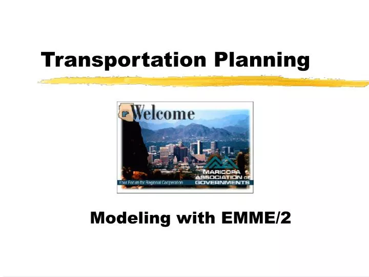
Transportation Planning. Modeling with EMME/2. Interconnectedness. Agencies Running The MAG Model. Maricopa County Regional Public Transportation Authority Scottsdale Tempe. Agencies Supported. Buckeye Chandler Fountain Hills Phoenix ADOT Gila River Indian Community Gilbert

E N D
Transportation Planning Modeling with EMME/2
Agencies Running The MAG Model • Maricopa County • Regional Public Transportation Authority • Scottsdale • Tempe
Agencies Supported • Buckeye • Chandler • Fountain Hills • Phoenix • ADOT • Gila River Indian Community • Gilbert • Glendale • Goodyear • Mesa • Pima Association of governments • Peoria • Phoenix • Pima-Maricopa Indian Community • US HUD
Components • Transportation Model • Land Use • Highway Network • Transit Network • Documentation
Major Updates • 1984 Travel Demand Model (UTPS) • 1979 Travel Speed Study • 1980 On-Board Bus Survey • 1981 Home Interview Survey • 1990 Travel Model Update (UTPS) • 1986 On-Board Bus Survey • 1986 Travel Speed Study • 1989 Home Interview Survey • 1995 Conversion to EMME2 and Model Update • 1989 Home Interview • 1991 On-Board Bus Survey • 1993 Travel Speed Study
Recent Improvements • Feedback to Trip Distribution • HOV Modeling • Graphics • Model Flexibility • Remote Access
Socioeconomic Variables • Residential • Location • Household Income • Auto Ownership • Employment • Location • Type
Modeled Area • Area is 60 x90 miles • 29 Member Agencies • 1541 Transportation Analysis Zones
Modeled Area • Area is 60 x90 miles • 29 Member Agencies • 1541 Transportation Analysis Zones
Trip Purpose Stratification • Home-Based Work • Income Group Stratification • Home-Based Shopping • Home-Based Other • Home-Based School • Elementary/Secondary • Arizona State University • Other University • Non-Home Based • Non-Home-Based Other • Non-Home-Based Work
Trip Generation • Trip Production • j = f (Household size j, Household income j) • Trip Attraction • j = f (Retail Employment j, other employment j, households j)
Network Level of Service • Highway • Travel distance ij • Travel time ij • Travel Cost • Transit • Walk time ij • First wait ij • In-vehicle time ij • Transfer time ij • Fare ij • Number of transfers • Drive access areas • Walk access areas
Trip Distribution Pi(Aj x Fij) S (Aj x Fij) Tij = Tij = Trips from Zone i to Zone j Aj = trip Attraction in Zone j Pi = Trip Production in Zone i Fij =Effect of travel time & distance between Zone i & Zone j
AM Peak Period Bus Travel Time Factor AM PEAK PERIOD
Multinomial Logit Structure Choice Transit Walk Transit Drive Drive Alone Shared Ride Access Access 2 Occupants 3 Occupants 4+ Occupants
Mode Choice Pij = Probability of using transit for a trip between Zone i to Zone j Transit untilityij = f (transit level of serviceij , incomei ) Auto utilityij = f (highway level of service ij , income ij
Home Based Work Observed vs. Estimated Trips by Mode
Home Based Non-Work Observed vs. Estimated Trips by Mode
Non-home Based Observed vs. Estimated Trips by Mode
Transit Trips Thousands
Transit Boardings Thousands
1980 Weekday 24-hour Counts I-10: East of 40th Street
Highway Travel Forecasting Accuracy of Models in Phoenix and Other Planning Areas