Download
1 / 9
90 likes | 172 Views
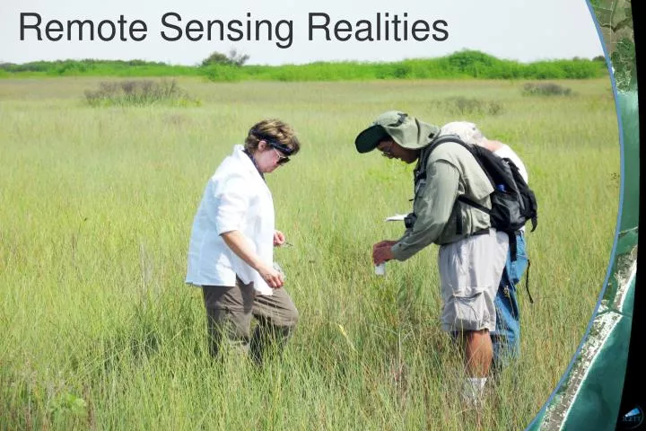
Remote Sensing Realities. Bumps you may have run into along the way…. Different data formats For Landsat this is being standardized to L1T GeoTIFFs Different projections For Landsat this is being standardized to UTM Topographic distortions

E N D
Bumps you may have run into along the way… • Different data formats • For Landsat this is being standardized to L1T GeoTIFFs • Different projections • For Landsat this is being standardized to UTM • Topographic distortions • For Landsat all data will soon be Level-1 Terrain-corrected (L1T) • Data availability • Cloud cover, same season, SLC-off gaps, cost
More bumps… • DN v. Radiance v. Reflectance • TOA Reflectance v. Surface Reflectance • Difficulty comparing data from different sensors (MSS, TM, ETM+)
What’s standing between you and your signal??? • The atmosphere • Terrain relief • Season • Sun angle • Partial spectral signatures
What’s standing between you and your signal??? “Remote sensing data must be corrected for atmospheric, topographic, and solar effects if they are to be compared to a library of spectral reflectance curves. Furthermore, relative atmospheric correction is needed if data signatures from one image date are to be compared to those from another date.” – Robert A. Schowengerdt, Remote Sensing: Models and Methods for Image Processing
What’s standing between you and your signal??? “A common radiometric response is required for quantitative analysis of multiple satellite images of a scene acquired on different dates with different sensor.” “Ideally, you want all image to appear as if they were acquired with the same sensor while observing through the same atmosphere and illumination conditions.” – Hall et al., 1991
Change Detection Accuracy Hinges on: • Precise geometric registration b/w images • Calibration or normalization between multi-temporal images • Availability of quality ground truth data • Complexity of landscape and environs of study area • Change detection methods or algorithms used • Classification and change detection schemes • Knowledge and familiarity of the study area • Time and cost restrictions D. Lu et al., 2004
A Case Study Remote Sensing of Environment article; 15 Jan. 2008: “Using long time series of Landsat data to monitor fire events and post-fire dynamics and identify driving factors. A case study in the Ayora region (eastern Spain)” Remote sensing can contribute to the estimation of fire risk or determination of fuel loads; serve as an input for fire simulation models, help with fire perimeter mapping and monitoring of fire-affected area. They looked at a period from 1972-2000 using MSS, TM and ETM+ data Their satellite data pre-processing involved: • radiometric correction of all images to attain surface reflectance • sensor calibration • modeling of radiative transfer • topographic illumination corrections • atmospheric transmission calculations to account for different water vapor concentrations
iGETT Remote Sensing Goals • know that federal RS data is out there • know how to download data • know how to do basic image manipulation • understand how data becomes information • integrate RS information with GIS • overall goal: your students, once in the workplace, will have had exposure to RS data