Download
1 / 10
100 likes | 103 Views
Explore how Geographic Information Systems (GIS) can support teaching and learning by connecting curriculum with critical skills, such as quantitative reasoning and spatial visualization. Discover the power of GIS in answering fundamental questions about location, trends, conditions, patterns, and modeling. Case studies on Sir Francis Drake's Circumnavigation and student experiences at Trinity University and Bowdoin College highlight the educational benefits of GIS.

E N D
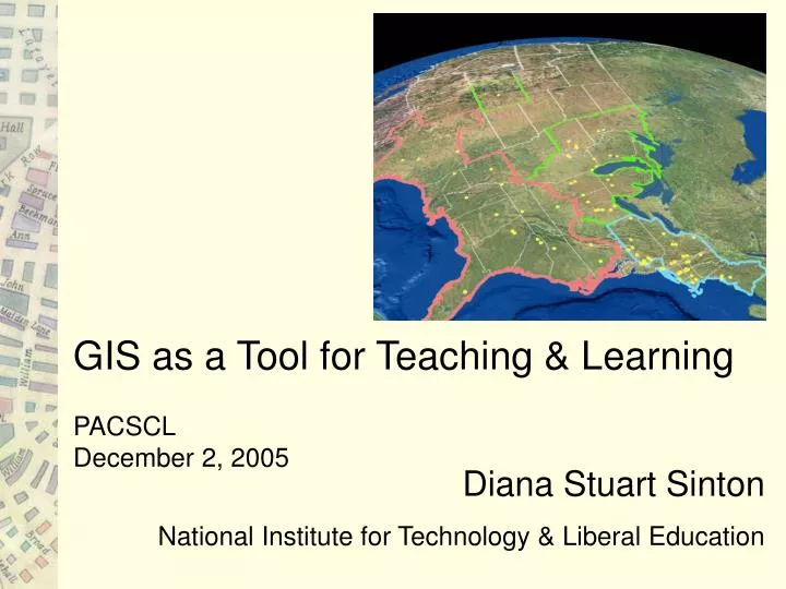
GIS as a Tool for Teaching & Learning PACSCL December 2, 2005 Diana Stuart Sinton National Institute for Technology & Liberal Education
Raw data versus
. . . meaningful information “It’s not something you would see until you actually saw it.”
How is it used to teach & learn? • Establish connections between curriculum and skills of • critical thinking, • quantitative reasoning, • geographic awareness, • all supported by cartographic/spatial visualization. * GIS creates a spatial lens that supports geographic curiosity.*
Fundamental GIS Questions Location: What is at…? Trends: What has changed…? Condition: Where is the location that meets these criteria? Pattern: What is the spatial pattern or distribution…? Modeling: What if…? Best GIS questions are the ones you hadn’t thought of until you looked at the maps …
Christine Drennon, Sociology & Anthropology, Trinity University
Smith College, Students and Space Please write the letter (A, B, C, etc) in the area on the map that corresponds with your answer. A is where I usually go to hang out with my friends. B is where I often like to go to study. C is the area I spend most of my time when I spend time outdoors. D is the area or building that I generally like to show friends and family when they come to visit the campus. E is the building or the area that most of the incidences involving public safety occur. F is where I go to find a quiet area to be in outside of my dorm or residence. G is where I go when I want a snack outside of my dorm or residence. H is where I usually go to exercise. I is where I feel least safe on-campus. J is my favorite building on-campus.
show friends & family feel least safe hang out with friends