Download
1 / 30
300 likes | 310 Views
Moloto Road (R573) Safety Investigations. PORTFOLIO COMMITTEE ON TRANSPORT 22 September 2015. Content. Background Methodology Description and major features of the route Key road safety issues to be addressed Implementation Plan Engineering interventions.

E N D
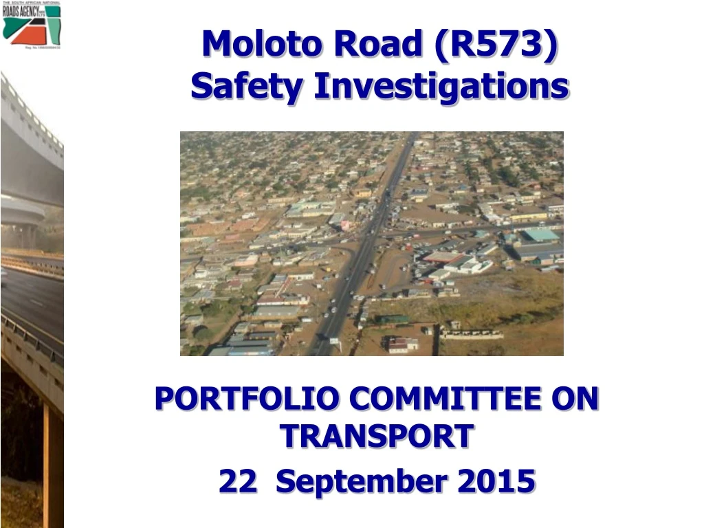
Moloto Road (R573)Safety Investigations PORTFOLIO COMMITTEE ON TRANSPORT 22 September 2015
Content • Background • Methodology • Description and major features of the route • Key road safety issues to be addressed • Implementation Plan • Engineering interventions
R573 – Moloto Road (Pretoria – Marble Hall) (37,5 km) (54,9 km) (46,7 km) R573 Total Length = 139,1 km
Background What makes this route different / “hazardous” ? • Links 28 informal settlements and townships • Serves as a primary mobility route • Distinct travel patterns , under dark conditions • Also serves an accessibility function • High numbers of pedestrian activity • Land use development not controlled, many unplanned (unlawful) accesses • Design standards inconsistent, little regard for road safety • Trading in the road reserve • Road user behaviour issues • Driving in face of oncoming traffic • Illegal U-Turns • Speeding • Lack of basic road maintenance, edge breaks, road signs, street lighting, etc
Methodology • Collect / Compile data and information on: • Road environment • Operational data: • Traffic volumes, pedestrian activity • Crash Data • Visual assessments • Identify the key conflict points: • Location of main conflicts • Type of road user behaviour leading to conflicts
Methodology (Continued) • Identify Remedial Measures • Engineering / Infrastructure • Short, medium and longer term measures • Enforcement • Effective, consistent, continuous • Education and Awareness • Community Buy-in ( Establishment Steering Committees) • Target the Schools
Moloto Road • Class 2 Road • Single carriageway • Lanes widths varies 3,5m to 3,7 m • With and without surfaced shoulder • Distinct rural and urban (peri-urban) sections
Moloto Rd • Passes through or links 28 Villages
Moloto Rd • Schools 173 (51 in first 20 km)
Crash Data Analysis (Limpopo) 64 month period, 44 crashes, no detail on severity
Crash Data Analysis (Limpopo) 64 month period, 44 crashes, no detail on severity
Crash Data Analysis (Mapumalanga) Number of Crashes by Day R573 (Mpumalanga Section) January 2012 to May 2014 29 month period, 489 crashes, 158 fatalities, 594 serious injuries
Crash Data Analysis (Mapumalanga) 29 month period, 489 crashes, 158 fatalities, 594 serious injuries
Crash Data Analysis • Summary Mapumalanga Crash data • 51% Saturday and Sunday • 67% Friday, Saturday and Sunday • 33% between 18:00 and 21:00 • 39% pedestrians
Key Road Safety Issues • Route serves a Mobility Function (high speeds) • Notwithstanding plans for rail, it will continue to serve mobility function • Competing Mobility versus Accessibility • Big differences in speeds • Pedestrian activity • Intersection Control (major conflict points) • Pedestrians crossing and travelling along the route • Trading in the road reserve • Lack of adequate and appropriate Public Transport Facilities along the route • Visibility • Pedestrians • Most of the activity takes place under dark conditions
Moloto Road (R573) - Current Status • Mpumalanga and Limpopo portions (92.4 km) – Transferred to SANRAL: Gazette Published on 29 July 2015 (No.649) • Gautenfgsection of Moloto Road: No formal request from Gauteng Premier to date. • SANRAL already commenced with: • Routine road maintenance on sections transferred: • pothole repairs/ edge breaks • crack sealing, • cleaning of drains, • guardrail repairs, • new line markings, • road sign repairs, etc • all contributing to improved road safety in short term.
Implementation Plan Short Term (1 to 3 Years) • Over the full length (92 km) • Maintenance interventions • Edge Breaks, road marking, road signs • Verge (grass cutting, improve recovery zones) • Upgrade all Bus Lay Bys to consistent standard • Speed limit review of entire 92 km • Focus on most critical section (first 25 km) • Highest number of crashes • Highest pedestrian volumes • High density schools (51 schools in close proximity)
Implementation Plan Short Term (1 to 3 Years) • Focus on most critical section (first 25 km) (continued) • Upgrade major intersections • Roundabouts • Dedicated turning lanes at minor intersections • Focus on Urban sections starting at Major intersections • Upgrade to desired cross-section • Fencing, walkways • Closing of selected and most hazardous illegal accesses and reducing conflict movements • Introduce new street lighting and repair existing street lights • Relocate informal trading
Implementation Plan Medium Term (3 to 5 Years) • Upgrades on all the urban sections, with priority starting from the south west to the north east, due to higher traffic pedestrian volumes and higher crash rates • Consolidate accesses, 600m typical spacing throughout by closing illegal accesses, formalizing erf boundary walls and providing service roads behind the first row of erven where applicable. • The most critical rural sections for capacity upgrades must be identified based on more detail traffic analysis, and traffic growth projects. • The 2+1 and 2+2 lanes configuration, with centre barriers
Implementation Plan (5 to 10 Years) • Upgrade the full 92 km to the proposed standard on both the urban and rural sections.
Proposed Cross Sections Rural Sections: 2 + 2 & 2 + 1 Lane Configuration
Proposed Cross Sections Rural Sections: 2 + 2 & 2 + 1 Lane Configuration
Proposed Cross Sections Urban Sections: (Mobility and Accessibility functions)
Proposed Cross Sections Urban Sections: (Mobility and Accessibility functions)