Download
1 / 8
80 likes | 187 Views
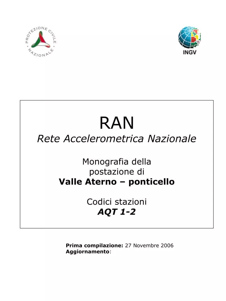
RAN Rete Accelerometrica Nazionale Monografia della postazione di Valle Aterno – ponticello Codici stazioni AQT 1-2. Prima compilazione: 27 Novembre 2006 Aggiornamento :. Inquadramento generale. Sede della postazione. Inquadramento geografico.

E N D
RANRete Accelerometrica NazionaleMonografia dellapostazione diValle Aterno – ponticello Codici stazioniAQT 1-2 Prima compilazione: 27 Novembre 2006 Aggiornamento:
Inquadramento generale Sede della postazione
Inquadramento geografico Foto aerea con localizzazione sito stazione e indagini.
Inquadramento geologico Estratto da Petitta M. e Tallini M. (2003)
Inquadramento geologico Carta geologica d’Italia 1:100000 – foglio 139
Indagini geologico-tecniche in sito Sondaggio geognostico Archivio DPC-SSN
Indagini geofisiche Microtremori
Riferimenti Geologia Petitta M. e Tallini M.- Groundwater resources and human impacts in a quaternary intramontane basin (L’Aquila Plain, Central Italy) – Water International, Volume 28, number 1, March 2003 Archivio DPC-SSN-Ufficio Sistemi di Monitoraggio Carta geologica d’Italia 1:100000 – foglio 139 Microtremori DPC-SSN