Download
1 / 14
140 likes | 356 Views
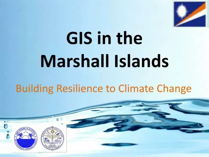
GIS in the Marshall Islands. Building Resilience to Climate Change. Marshall Islands. North of the Equator Population of 53,000 Gained Independence in 1986 from the US Micronesian Culture. Geography of RMI. 33 Atolls 4 Islands 2 Chains 750,000 sq. miles EEZ 70 sq. miles land

E N D
GIS in the Marshall Islands Building Resilience to Climate Change
Marshall Islands • North of the Equator • Population of 53,000 • Gained Independence in 1986 from the US • Micronesian Culture
Geography of RMI • 33 Atolls • 4 Islands • 2 Chains • 750,000 sq. miles EEZ • 70 sq. miles land • Ave. height above sea level 7 foot
Building GIS for Health • To reduce waterborne illnesses mapping and documenting where/when outbreaks occur and isolate the cause of illness. • Famous case of Dr. John Snow identifying that the outbreak of cholera in London in the 1840’s • A great way of understanding the spread can be used as a tool to inform the public of any potential health emergencies/outbreaks.
Building GIS for Community Based Resource Management- Reimaanlok • Involves a step-by-step guide with management tools and examples that will help establish resource management plans and community-based conservation areas that consider current and future trends (including climate change), locally and globally, that affect the islands’ resources and their sustainability. • The Namdrik Atoll Local Resources Committee, received global recognition for its outstanding efforts in sustainable development at the Rio +20 United Nation’s Conference in Rio de Janeiro, Brazil. • Process aims to gather GIS database information atoll by atoll to develop a comprehensive resource management network across RMI for future management needs and requirements.
Building GIS for Infrastructure Management • MWSC water utility do not have a comprehensive GIS database of their infrastructure and the quantities of water flowing through their systems. • GIS can map the infrastructure network and attempt to monitor the flow quantities across the network
Building GIS to Analyse Water Supply & Sanitation Methods • Census Data is revealing in that it tells us the percentage of improved water treatment methods and breaks it down into methods • However there is a need to locate the communities that need improved water treatment methods • GIS mapping of the data by household can create a picture of where to focus programs
Building GIS to Analyse Water Supply & Sanitation Methods • Data can be misleading by itself • 16% of households take over 30 mins round trip • However this is primarily on Ebeye, where workers in the morning head to Kwajalein US Army Base with a empty water container, and return at the end of the day with it filled to Ebeye. • This distorts the figures greatly.
Building GIS to Analyse Water Supply & Sanitation Methods • Similar to water supply, household sanitation coverage data is misleading • 29% of the population do not have improved sanitation methods • This mainly occurs in the Outer Islands where it is still common to defecate either in the water or on the land directly • However issues arise with septic coverage within the urban areas where they are often required to use the municipal piped system. • Hence coverage of septic vs. piped systems need to be mapped to visualise any trends
Building GIS to Monitor Water Quality Parameters over time • There are plans to ramp up water quality monitoring in the outer islands • However the results need to be documented to see the change over time, especially in the salinity and faecal contamination of the groundwater • The information presented back to the islanders needs to be as basic and visual as possible for them to understand • GIS can be a great tool in presenting that information
Using GIS to Enable Donor Delivery • When donors deliver projects they do their own assessment like the EU with their Rainwater Tanks program. • The EU developed a great database of the ranking the needs of households and target the most advantaged first. • However various other programs that followed could have built upon this information and delivered to the next most needed households instead they spent great money on developing their own systems • RMI needs to develop a database of rainwater tanks and required tanks in order to remain consistent in delivery in targeting the disadvantaged • It can also be used to entice further donor investments, with known requirements and outcomes
Using GIS to Build Resistance to Climate Variability • In understanding climate variability it is importing to monitor the parameters of the environment and resources whether that entails sea-level rise, air and water temperature, coastal morphology, rainfall or other parameters. • The change over time and the trends that the information gives enables greater decision making and planning for disaster risk management, climate change adaptations and resource use management practices.
Kommol Tata Recommendations