Download
1 / 29
290 likes | 478 Views
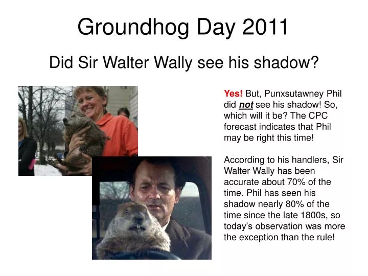
Groundhog Day 2011. Did Sir Walter Wally see his shadow?. Yes! But, Punxsutawney Phil did not see his shadow! So, which will it be? The CPC forecast indicates that Phil may be right this time!

E N D
Groundhog Day 2011 Did Sir Walter Wally see his shadow? Yes! But, Punxsutawney Phil did not see his shadow! So, which will it be? The CPC forecast indicates that Phil may be right this time! According to his handlers, Sir Walter Wally has been accurate about 70% of the time. Phil has seen his shadow nearly 80% of the time since the late 1800s, so today’s observation was more the exception than the rule!
Discussion Points • Massive Midwest winter storm • Air mass transition in central NC • Storms in the Southern Hemisphere (next week) • Prolong rain event Friday-Saturday • A major shot of cold air next week?
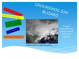
The breadth of this storm was impressive; 22 states from New Mexico to Maine were under Winter Weather Warnings
12 UTC 1 February Shallow wedge remains in place over central NC
1215 UTC 1 February Developing cyclone resembles a classic “baroclinic leaf” pattern in satellite imagery
A tremendous thermal gradient! The surface wedge begins to erode in central NC and the warm-up begins! http://www.weather.gov/data/obhistory/KRDU.html
Note SW trough that will bring us rain by Friday… 00 UTC 2 February
Comparisons to the Great October Cyclone Intense surface low embedded in long-wave trough pattern (i.e. broad area of generally low pressures) Lack of a strong surface high
Parent low over Erie, PA looks to “jump” towards off-shore frontal boundary and move northeast across New England 12 UTC 2 February