Download
1 / 18
180 likes | 302 Views
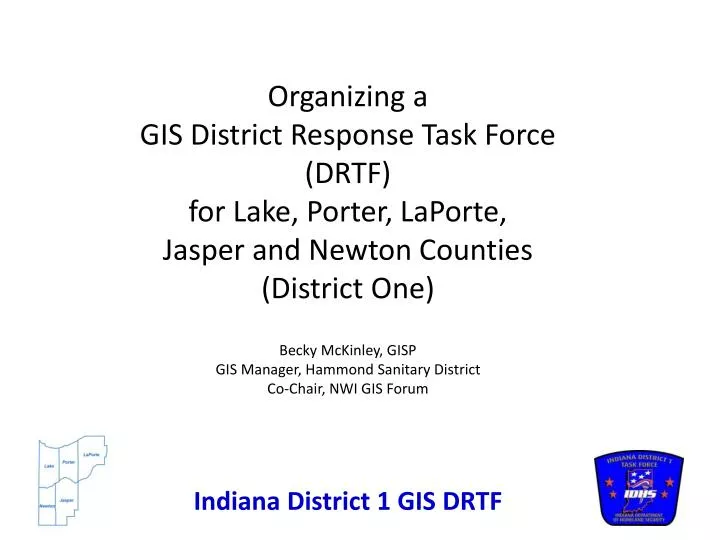
Organizing a GIS District Response Task Force (DRTF) for Lake, Porter, LaPorte, Jasper and Newton Counties (District One) Becky McKinley, GISP GIS Manager, Hammond Sanitary District Co-Chair, NWI GIS Forum. Background. May , 2012

E N D
Organizing a GIS District Response Task Force (DRTF)for Lake, Porter, LaPorte, Jasper and Newton Counties (District One)Becky McKinley, GISPGIS Manager, Hammond Sanitary DistrictCo-Chair, NWI GIS Forum Indiana District 1 GIS DRTF
Background • May , 2012 • Approached by Eric Kurtz, D1 IMT Incident Commander / Team Leader • First meeting with the NWI GIS Forum • Eric described his experience in March, 2012 after the Henryville tornados and his vision of a district level response task force for GIS • Roger described his involvement in Henryville and the IDHS expectations from a GIS DRTF in the field “In an emergency is it more important to be informative then to be right “ Indiana District 1 GIS DRTF
Why Organize a GIS DRTF? • Immediate mapping needs in an emergency are very basic. They include • Being able to print/plot in the field • Use mash-ups of data and the different viewers • Deliver the map to the customer • What does GIS add to the response in the field? • Improved operational coordination of field operations • Inform the ‘common operating picture’ • Add to the number of ‘tech savvy’ staff who can assist in overall information technology needs in the field Indiana District 1 GIS DRTF
Beyond Immediate ResponsePreliminary Damage Assessment • Report to the Operations Chief and • provide a division map of the incident area • help ‘grid’ this division area so Operations can assign areas to individuals for data collection • provide them with these ‘grid’ maps for field damage assessment • Provide JIT (just-in-time) training on the GPS units to the members of the Operations Sector who will doing the field data collection • Take the data as if comes back in and • Create status maps showing the areas completed • Create ‘severity’ maps based on the field assessment data • Analyze the results and assign a cost to the incident based on the field assessment data Indiana District 1 GIS DRTF
Progress to Date September, 2012 • Had 4 credentialed team members (Becky, Dan, Sarah and Anthony) • Visited the Mobile Response vehicle and began getting quotes for equipment • October, 2012 • Formally recognized by IDHS as a district GIS response team with 5 credentialed members (added Chuck with Porter County) • Submitted grant application to District 1 IMT • February , 2013 • Observed an exercise during an All-Hazards IMT training class at a local hospital • Jasper County is now represented by Alan and Adam • March , 2013 • Grant was approved – began ordering the equipment • May , 2013 • Equipment is in – next steps are to set it up and plan our first table-top drill Goal for fall, 2013 is to participate in a district-wide all hazards drill Indiana District 1 GIS DRTF
Participants • Credentialed GIS professionals • Anthony Walker, Lake County Surveyor’s Office) • Sarah Geinosky, NIRPC • Becky McKinley, Hammond Sanitary District • Dan Niksch, City of Crown Point Engineer’s Office • Chuck Miller, Porter County Auditor’s Office Indiana District 1 GIS DRTF
Participants (continued) • D1 Incident Management Team (IMT) Champions • Eric Kurtz (Incident Commander – Porter County EMA) • Russ Shirley (Fiscal Agent – Porter County EMA) • Other GIS Professional support (and potential credentialed participants) • Shannon Lefever – Lake County Surveyor’s Office • Adam Lyons – Jasper County • Alan Shanks – Jasper County • Tony Hendricks – LaPorte County Surveyor • Danielle Sands – Newton County • Cele Morris - IUN • Other Participation and support • D1 IMT – numerous specialty response tasks forces, sector chiefs etc. • IDHLS • NWI GIS Forum • Other District GIS DRTFs (D5 and D2) • Region 5 EPA and FEMA • IGIC GIS Corps/National States Geographic Information Council • Private sector (WTH, Sidwell) Indiana District 1 GIS DRTF
Initial Equipment Summary • Two 15” laptop computers running the ArcView level of ArcGIS. • Two larger monitors for use with the laptops • Ability to ‘check out’ more advanced licensing of the ArcGIS software such as Arc Info and numerous extensions, from the IDHS via VPN connection • An HP Color LaserJet CP5525n printer for making either letter size or 11”x17” paper maps. • An HP DesignJet 111 - 24”, roll-fed inkjet plotter for making large format maps. • A number of jumpdrives to ‘sneakernet’ data and maps when necessary as well as a high capacity external hardrive for back-up and off-site data compilation. • Open Office (an open source, free suite of office applications) will be used for word processing and working with spreadsheets. • Three Trimble Juno 3B handheld GPS units for field data collection. • Both laptops will be equipped with the TerraSync software to communicate with the Juno GPS units • One laptop will be loaded with the Trimble Pathfinder Office software needed to post-process the GPS data and improve its accuracy Indiana District 1 GIS DRTF
TrainingGeneral requirements for DRTF Participation • NIMS on-line minimal requirements (each is approximately 3-hours followed by a test) • ICS-100 Introduction to the Incident Command System • IS-700 National Incident Management System, An Introduction • IS-200.b Introduction to Incident Command System • IS-800.B National Response Framework, An Introduction (http://training.fema.gov/EMI/) FEMA Emergency Management Institute Indiana District 1 GIS DRTF
Training (continued) Recommended Additional NIMS courses • Two instructor led classes: • ICS-300 Intermediate Incident Command System for Expanding Incidents • ICS-400 Advanced ICS for Command and General Staff, Complex Incidents and MACS for Operational First Responders Indiana District 1 GIS DRTF
Training(continued) Required for ACAMs Access • Protected Critical Infrastructure Information (PCII) https://pciims.dhs.gov – about 45 minutes on-line • Automated Critical Asset Management System (ACAMS) training (must have your info entered on the ACAMs roster and submitted to Roger Kolpein prior to being allowed to register for an account at http://captap-training.org/ Indiana District 1 GIS DRTF
Training (continued) Recommended for ACAMs Access • IS‐860.a National Infrastructure Protection Plan (NIPP) • Become a Chemical‐terrorism Vulnerability Information (CVI) authorized user (approximately one hour) http://www.dhs.gov/files/programs/gc_1181835547413.shtm Indiana District 1 GIS DRTF
Training (continued) Optional for Specific Skills FEMA Emergency Management Institute (http://training.fema.gov/EMI/) • IS-120.A: An Introduction to exercises • IS-130: Exercise Evaluation and Improvement Planning • IS-139 Exercise Design • US National Grid IDHS On-line training site (http://indianafirstresponder.org/) • Damage Assessment (Individual Assistance--Initial Assessment) • This course focuses on what you will need to know to conduct initial assessments for Individual Assistance (IA) operations after damage has occurred to homes or businesses of a community. Public Assistance (PA) assessments will not be discussed here. Duration: 4 hours Indiana District 1 GIS DRTF
IDHS Support • Library of ESRI Licenses • WebEOC Flexviewers • Specialized GIS skills • Funding Indiana District 1 GIS DRTF
How our DRTF will be Organized • 3-5 credentialed members (‘deployable assets’) • Have a signed Participation Application on file with the District Commander • Have completed all required training • A secondary GIS support team • Made up of GIS specialists who cannot necessarily deploy to the event but can support the team remotely Indiana District 1 GIS DRTF
IGIC GIS Corps Support • Statewide Contact list • Inventory of special skills • Continued support of the IndianaMap and the ortho/LIDAR program Indiana District 1 GIS DRTF
Questions?Becky McKinleybmckinley@hammondsd.com219-853-6413x516 Indiana District 1 GIS DRTF