Download
1 / 23
240 likes | 338 Views
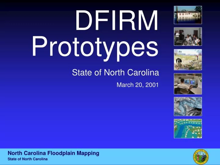
DFIRM Prototypes State of North Carolina March 20, 2001. North Carolina Floodplain Mapping State of North Carolina. Map Frame. Map Frame. Grids & Graticules State Plane Corner Coordinates Universal Transverse Mercator Coordinates Latitude and Longitude Coordinates 3 Color Map

E N D
DFIRM Prototypes State of North Carolina March 20, 2001 North Carolina Floodplain Mapping State of North Carolina
Map Frame • Grids & Graticules • State Plane Corner Coordinates • Universal Transverse Mercator Coordinates • Latitude and Longitude Coordinates • 3 Color Map • Black & White, Blue, Yellow • USGS DOQQ as Base • Halo Text • Annotations in Border • Joins Panel Note Moved
Detailed Study Areas • 100-year Cyan (FEMA Standard) • Floodway White Hatch (FEMA Standard) • 500-year Yellow
Approximate Study Areas • 100-year Cyan (FEMA Standard) • Zone AFE vs. Zone A • Advisory Flood Elevation (AFE) Annotations • Coincident County/Streamline Note
Legend Frame • All Possible Flooding Zones Shown • Gray Background for Floodzone Polygons • Similar to Existing FEMA DFIRM Standard
Table Frame • Similar to FEMA Approved Mecklenburg County Flood Hazard Data Table • Cross Section ID, Stream Station, Base Flood Discharge, Base Flood WSEL, and Encroachment Distances Shown
Datum Conversion Frame • Explanation of Vertical Shift from NGVD 29 to NAVD 88 • Vertical Datum Shift Table Displaying Datum Shift by County • BMs Referenced to NCGS Website
Scale Frame • Representative Fraction, English and Metric Scale Bars Displayed • NCFLOODMAPS.COM Reference • NCDEM Reference • NFIP Reference
Index Frame • Panel Number is Lower Left Northing and Easting • NC Land Record Number (In Title Block)
Celebratory Frame • State of NC Seal, CTS Logo, and FEMA Seal Displayed • Description of CTS Agreement • NCFLOODMAPS.COM Reference
Title Block Frame • Dual County Reference • Map Number Shown for Each County • State of NC Seal and FEMA Seal
Notes to Users Frame • Standard FEMA DFIRM Notes • Advisory Flood Elevation (AFE) Definition • References NC Floodplain Mapping Program • Located at Bottom of FIRM Panel