Download
1 / 11
110 likes | 251 Views
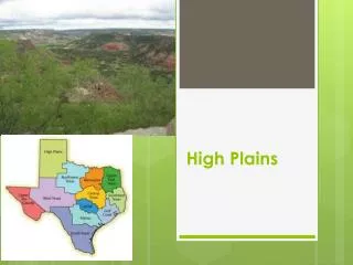
use of GIS to assess groundwater recharge in the Texas High Plains. Sarah Davidson GIS in Water Resources Dr. David Maidment November 29, 2007. hypothesis. Generally available spatial datasets can be used with ArcGIS to estimate the spatial distribution of groundwater recharge rates.

E N D
use of GIS to assess groundwater recharge in the Texas High Plains Sarah Davidson GIS in Water Resources Dr. David Maidment November 29, 2007
hypothesis Generally available spatial datasets can be used with ArcGIS to estimate the spatial distribution of groundwater recharge rates.
research needs methods for • estimating groundwater recharge • characterizing groundwater systems in data-poor areas • linking land and water management
recharge in the High Plains controlled by • topography • soils • vegetation • climate • land use R = P + I - E - T - Ro
topography 10-meter National Elevation Dataset (DEMs)
vegetation National Agricultural Imagery Program (NAIP)
soils Soil Survey Spatial and Tabular Data (SSURGO)
climate National Climatic Data Center (NCDC)
land use National Land Cover Dataset (NCDC)
future work integrate point recharge estimates calculate recharge volume incorporate temporal variabilityand vadose zone thickness