Download
1 / 17
170 likes | 247 Views
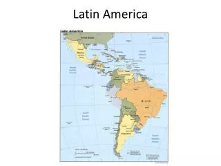
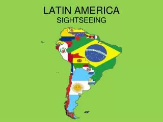
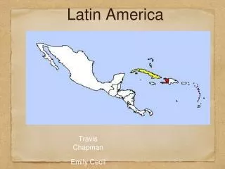
Latin America. Geography. A Vast Region. Stretching from the Rio Grande River in southern Texas To the tip of Cape Horn 5,500 miles. Middle America. Mexico + 7 Central American nations +13 island nations +Puerto Rico. Central America. Mexico. Caribbean. South America.

E N D
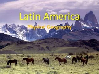
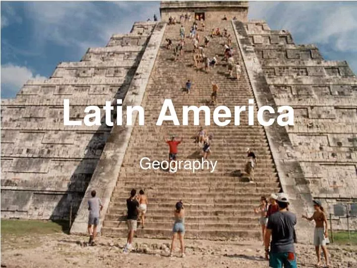
Latin America Geography
A Vast Region • Stretching from the Rio Grande River in southern Texas • To the tip of Cape Horn • 5,500 miles
Middle America • Mexico + 7 Central American nations +13 island nations +Puerto Rico Central America Mexico Caribbean
South America • 12 nations + Falkland Is. + French Guiana • Home to the largest rainforest in the world= Amazon
Landforms • La Cordillera (the “spine”)- a continuation of the Rocky Mountains • The Sierra Madre West and East in Mexico • The Andes Mountains in South America • 2nd only to the Himalayas in height • Highlands in Brazil
Machu Picchu • Ancient Inca city in Peru • Built in 1400’s • Abandoned in 1500’s • Rediscovered in 1911 • UNESCO Heritage Site
Desert • In Mexico- The Sonoran Desert • Rainshadow along west coast of South America from Andes Mountains • Chile extremely dry • Atacama Desert • Isolation of cultures from Chile, Equador, and Peru
Pampas • Lowlands/coastal plains of South America • Argentina to Uruguay • Cattle ranching • #2 beef producer in world • Productive farming region: wheat!
What is the dark spot? • The Amazon Rainforest!
Amazon Rainforest • Beginning in the snowy Andes Mts • Amazon River flows to Brazil • 1,100 tributaries • So deep and wide cargo ships can sail inland for 1,000 miles • Up until 1950’s few settlements: humid, prone to flooding • Natural resources: lumber & minerals
Deforestation • Land clearing for pastureland* • Hydroelectric projects have flooded vast areas of Amazon rainforest • Commercial mining: Gold and Bauxite • Amazon known as “Lungs of the World”
Tropics • Along coastline from Caribbean to Southern Brazil • Tourism is the main industry • Sand is a major export to the USA • Bananas, coconuts, cinnamon, sugar • Bauxite, Natural Gas, Cement …
Hurricanes • The angry god Hurakan • 12 to 16 named tropical storms a year • 6 to 9 are expected to become hurricanes of Category 3+ • Hurricane season begins June 1st • First one of the season to be named Arthur • Impact primarily on Caribbean+ Central America
Earthquakes 1960 Chilean earthquake proved Japanese tsunami theory
Last geography TTK(Tidbits-to-know) • Amazon covers 40% of S. America- 20% world’s oxygen • 75% Latin America has tropical rainforest-home to most biodiversity in world • E. Coast S. America/irregular coastline+ • W. Coast S. America/smooth coastline- • Mexico/Venezuela=oil • Many nations rely on cash crops for export • Cocoa, pineapple, banana…vulnerable to weather • Tourism and Ecotourism very important for economy and preservation of the rainforests
Map Test on Friday • All nations • All capitals and marked cities • Gulf of Mexico • Caribbean • Pacific/Atlantic • Sierra Madres • Andes Mountains • Panama Canal • Amazon River • Amazon Basin • Atacama Desert/Sonoran Desert • Pampas • Brazilian Highlands • Falkland Islands and Galapagos Islands