Download
1 / 20
220 likes | 382 Views
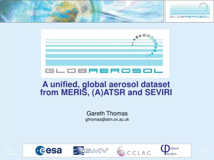
A unified, global aerosol dataset from MERIS, (A)ATSR and SEVIRI. Gareth Thomas gthomas@atm.ox.ac.uk. Introduction. GlobAEROSOL is part of the ESA Data User Element programme.

E N D
A unified, global aerosol dataset from MERIS, (A)ATSR and SEVIRI Gareth Thomas gthomas@atm.ox.ac.uk
Introduction • GlobAEROSOL is part of the ESA Data User Element programme. • It aims to provide a global aerosol dataset from four European satellite instruments: ATSR-2, AATSR, MERIS and MSG SEVIRI. • The primary products will be aerosol optical depth at 550 and 865 nm, the Ångstrøm coefficient between these two wavelengths and an indication of aerosol type. • The data set will cover 1995 – 2005.
People and organisations • ESA • Simon Pinnock (Technical Officer) • GMV • Celestino Gomez (Project Manager) • Rutherford Appleton Laboratory • Richard Siddans • Caroline Poulsen • Barry Latter • Brian Kerridge • University of Oxford • Gareth Thomas • Elisa Carboni • Don Grainger
GlobAEROSOL users • ECMWF • Agenzia Regionale per la Protezione dell'Ambiente, Lombardia (ARPA) • Centre National de Recherche Meteorologiques, Meteo France (CNRM) • Meteorological Synthesizing Centre – West (EMEP) • The North Rhine-Westphalia State Environment Agency (LUA NRW) • Dept. of Air Quality, Hellenic Ministry for the Environment, Physical Planning and Public Works • The Max Planck Institute for Meteorology (MPI-Met.) • Flemish Environment Agency (VMM) • Laboratoire d'Optique Atmosphérique, University of Lille (LOA) • PROtocol MOniToring for the GMES Service Element on Atmospheric Composition (PROMOTE)
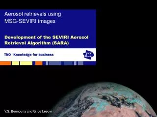
SEVIRI 0.6 μm 0.8 μm RGB 1.6 μm • On board Meteosat 8 (formerly called Meteosat Second Generation) in a geostationary orbit 35,800 km above the equation, just off the West coast of Africa. • The spinning of the spacecraft and a North-South scan mirror provides an image of the globe every 15 minutes. • The instrument provides a sub-satellite resolution of 3x3 km in 3 visible and 8 infrared channels, plus high-resolution visible channels (1x1 km) for providing false colour imagines.
Retrieval method • MERIS aerosol products will be based on the standard level 2 processing. • ATSR-2, AATSR and SEVIRI aerosol products will all be derived using the Oxford-RAL Aerosol and Cloud retrieval scheme (ORAC). • The scheme uses the optimal estimation method. • The forward model uses the DISORT radiative transfer model in conjunction with a set of aerosol models based on a subset of the same aerosol classes used in the MERIS retrieval. • The aerosol retrieval makes use of the visible channels only: • ATSR-2: 0.67, 0.87, 1.6 μm • AATSR: 0.55, 0.67, 0.87, 1.6 μm • SEVIRI: 0.64, 0.81, 1.6 μm • Cloud properties will not be retrieved for GlobAEROSOL. • ORAC has already been used extensively for cloud retrievals and the aerosol retrieval is currently being used in the GRAPE* project. *See http://www-atm.physics.ox.ac.uk/group/grape/
GlobAEROSOL products • Aerosol optical depth at 550 and 865 nm, as well as the Ångstrøm coefficient between these two wavelengths will be the primary products. • Additionally, some degree of aerosol speciation will be provided by performing the retrieval with a series of assumed aerosol properties (refractive index, size distrubution, vertical distribution), and choosing the one which provides the best fit to the measured radiances. The proposed aerosol classifications will be: • Maritime aerosol • Continental aerosol • Urban/polluted aerosol • Desert/dust aerosol
GlobAEROSOL products • The ORAC processor also retrieves an offset to the a priori surface reflectance. • Uncertainties will also be included for the retrieved products (i.e. not the speciation). • Daily products will be produced on a 10×10 km Gaussian Grid, both for the individual instruments and a merged product. • The merged product will correspond to the ENVISAT (ERS-2 in the case of ATSR-2) overpass time of approximately 10:30 local solar time, with SEVIRI results interpolated to this time across the field of view. • Where overlap occurs, results from each instrument will be combined by their mean weighted by their error estimates.
GlobAEROSOL products • The daily product will not provide global coverage: • The individual instruments do not provide complete global coverage in a single day. • Cloud cover and sun-glint from the ocean surface will further reduce the data coverage. • To overcome this monthly composite products will also be produced, which will provide a monthly average of the global aerosol loading.
Daily coverage ATSR daily coverage MERIS daily coverage SEVIRI coverage
Things to note • Before 2001 the only instrument available is ATSR-2, hence the first half of the data set will have considerably poorer coverage. • After 2001 ATSR-2 data will not be used, due to the pointing issues with ERS-2. • The SEVIRI Level 1.5 data required for GlobAEROSOL processing is only available from February 2004 onwards. • ORAC only uses the nadir view of ATSR-2 and AATSR: it is not a dual view retrieval (at present).
Product validation • The GlobAEROSOL products will be primarily validated against ground based measurements, in particular AERONET. • Comparisons will also be made with data from the UK Met. Office research aircraft (FAAM) collected during the ADRIEX campaign over the Adriatic Sea, Po Valley and Black Sea in August/September 2004. • Comparisons against other satellite aerosol products will also be undertaken.
Example products: AATSR AASTR data over Western Europe, 30th August 2004.
Example products: AATSR Red: Maritime Grey: Continental
Retrieval issues • Both ATSR and SEVIRI results show signs of cloud and sun-glint contamination. • The ORAC processor uses it’s own sun-glint detection and, for ATSR, cloud flagging. It is thus possible to increase the stringency of these flags. • The SEVIRI cloud flag is the EUMETSAT CLM cloud mask, and is thus outside the control of this project. • It is not clear whether the attribution of an aerosol type, based on how well different aerosol models fit the measurements is reasonable. • We may be trying to extract too much information from our measurements. • This is an issue for the validation study to address. • As with most satellite aerosol retrievals, the results are unreliable over bright surfaces (e.g. deserts).
Concluding remarks • GlobAEROSOL will be one of the few long-term, global aerosol datasets derived from multiple satellite instruments available. • The full 10 year dataset will become available by 2007. • More information on the GlobAEROSOL project can be found at: http://www.globaerosol.info/ Information about ESA Data User Element in general is available at: http://dup.esrin.esa.it/