Download
1 / 38
380 likes | 381 Views
Explore the recent research results and data from the Coastal Ocean Observation Lab at Rutgers University's Institute of Marine and Coastal Sciences (IMCS).

E N D
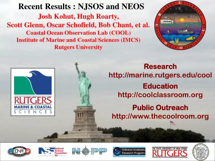
Recent Results : NJSOS and NEOS Josh Kohut, Hugh Roarty, Scott Glenn, Oscar Schofield, Bob Chant, et al. Coastal Ocean Observation Lab (COOL)Institute of Marine and Coastal Sciences (IMCS)Rutgers University Research http://marine.rutgers.edu/cool Education http://coolclassroom.org Public Outreach http://www.thecoolroom.org
Data Users - Scientific Research Schofield, O., Bergmann, T., Kohut, J., Glenn, S. A 2001. Coastal ocean observatory for studying nearshore coastal processes. Backscatter 12: 34-37. Schofield, O., Bergmann, T., Bissett, W. P., Grassle, F., Haidvogel, D., Kohut, J., Moline, M., Glenn, S. 2002. Linking regional coastal observatories to provide the foundation for a national ocean observation network. Journal of Oceanic Engineering. 27(2): 146-154. Kohut, J. T. and S. M. Glenn, 2003. Improving HF radar surface current measurements with measured antenna beam patterns. J. Atmos. Ocean. Tech., 1303-1316. Glenn, S. M., Schofield O. Observing the oceans from the COOLroom: Our history, experience, and opinions, Oceanography, V16 pp. 37-52. Special JGR Issue (2004): Chant, R, Glenn, S. M., and Kohut, J., Flow reversals during upwelling conditions on the New Jersey inner shelf. Journal Geophysical Research – MARA Special Section, Accepted in press. Glenn, S. M., Arnone, R., Bergmann, T., Bissett, W. P., Crowley, M., Cullen, J., Gryzmski, J., Haidvogel, D., Kohut, J., Moline, M. A., Oliver, M., Orrico, C., Sherrell, R., Song, T., Weidemann, A., Chant, R., and Schofield, O., The biogeochemical consequences of summer upwelling off the New Jersey coast. Journal Geophysical Research – MARA Special Section, Accepted pending minor revision.. Kohut, J., Glenn, S.M., and Chant, R., Seasonal Current Variability on the New Jersey Inner Shelf. Journal Geophysical Research – MARA Special Section, Accepted in press. Kohut, J., Glenn, S. M., and Paduan, J., The inner-shelf response to tropical storm Floyd. Journal Geophysical Research – MARA Special Section, submitted. Oliver, M. W., Schofield, O.,Bergmann, T.,,Glenn, S. M., Moline, M. A., Orrico, C. In-situ Optically Derived Phytoplankton Absorption Properties in Coastal Waters and its utility for estimating primary productivity rates. Journal Geophysical Research – MARA Special Section, Accepted in press Oliver, M., Glenn, S.M., Kohut, J., Bissett, W.P., Moline, M. A., Irwin, A., and Schofield. O., Bioinformatic Approaches for Objective Detection of Water Masses on Continental Shelves. Journal Geophysical Research – MARA Special Section, accepted pending minor revisions.
Data Users – Continued…. United States Coast Guard - Individual Life Boat Stations – Use real-time current maps for local search planning. - R&D Center – Ongoing demonstrations incorporating real-time and short term forecast current maps into existing Coast Guard search planning procedures. - Oil spill response. NOAA/OP&R/HAZMAT “For this particular incident, we went to the Rutgers CODAR site, to help with the calibration. The web site provided not only data but valuable analysis on the data. Through a phone number provided on the web site I also contacted Josh Kohut who was very helpful in providing additional information concerning the real-time data as well as personal observations of how the coastal currents typically behave off the New Jersey coastline.” - Glen Watabayashi Oceanographer (NOAA/OP&R/HAZMAT) General Public - Recreational and commercial fishing – Use current maps to identify features conducive to fishing. - Surfers – Local wave measurements Local Police - Provide data on an individual case basis to aid in ongoing investigations. National Weather Service - Track passing weather systems - Wave data incorporated into rip-tide forecasts.
Wave Time Series : January, 2004 NOAA Delaware Bay BuoyStevens Pressure Sensor CODAR
Temporal Spectrum (m2/Hz) CODAR Derived Wave Spectra January, 2004
Long-range System Validation Tuckerton, NJ
Tuckerton 5 MHz Long-Range CODAR COOL 1 COOL 2 Brigantine 25 MHz Standard CODAR COOL 3 COOL 4 COOL 5 2001 Summer Experiment
Raw Velocity Radial Current Comparisons ADCP Data Environmental Characteristics
Tidal Velocity Radial Current Comparisons ADCP Data Environmental Characteristics
Tuckerton COOL 1 COOL 2 COOL 3 Brigantine COOL 4 COOL 5
Raw Velocity Radial Current Comparisons CODAR data requires at least two points for merge
Tidal Velocity Radial Current Comparisons CODAR data requires at least two points for merge
CODAR and ADCP Comparisons (yd 209-211) 2.58 cm/s 2.82 cm/s RMS Difference (COOL5 ADCP @ 3m v. COOL3 ADCP @ 3m)
NJSOS Operational Research Results – Two year average CODAR surface currents (2002-2003)
NJSOS Operational Research Results-Annual & Seasonal Variability 2002 Mean 2003 Mean Surface Velocity (cm/s) Surface Velocity (cm/s) Winter Mean Summer Mean Surface Velocity (cm/s) Surface Velocity (cm/s)
Correlation Length Scales of the Detided Current Fields Correlation Correlation
Lagrangian LaTTE Transport and Transformation Experiment
Evolution of a freshwater plume 25 cm/s 25 cm/s
Evolution of a freshwater plume Wind Dir. Wind Dir. 25 cm/s Wind Dir. 25 cm/s
Ocean.US Surface Current Mapping Initiative 2003 12 long-range systems 6 standard-range systems
Nauset, MA University of Massachusetts, Dartmouth
Ocean.US Surface Current Mapping Initiative 2003 12 long-range systems 6 standard-range systems
Yarmouth, Nova Scotia University of Maine
Ocean.US Surface Current Mapping Initiative 2003
Block Island, RI University of Rhode Island University of Maine Rutgers University
Block Island, RI University of Rhode Island University of Maine Rutgers University
Summary • A wide variety of users from research scientists to the general public • benefit from surface current maps and wave data. • HF Radars Work! • There is a frontal feature that follows the Hudson Canyon out to the • mid-shelf that varies over seasonal scales. • Current maps near the mouth of New York Harbor show strong • correlation between local winds and the direction of freshwater outflow. • NEOS: 18 systems and growing…