Download
1 / 10
100 likes | 201 Views
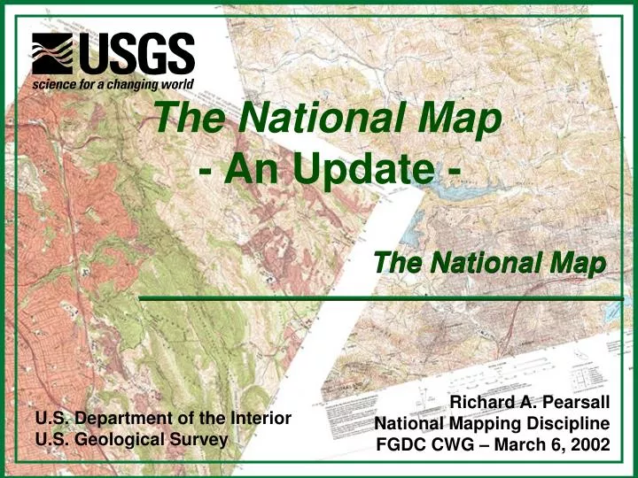
The National Map - An Update -. The National Map. Richard A. Pearsall National Mapping Discipline FGDC CWG – March 6, 2002. U.S. Department of the Interior U.S. Geological Survey. Topics. Tier 2 Review and Issues Mapping Science Committee Review Pilot Projects Supportive Activities

E N D
The National Map- An Update - The National Map Richard A. Pearsall National Mapping Discipline FGDC CWG – March 6, 2002 U.S. Department of the Interior U.S. Geological Survey
Topics • Tier 2 Review and Issues • Mapping Science Committee Review • Pilot Projects • Supportive Activities • Relationship to Geospatial One-Stop and I-Teams
Tier 2 Review & Issues • Requirement for Detail or Clarification of Information • Business Model • Partnerships (Roles and Responsibilities) • Relationship to NSDI • Relationship to other geospatial initiatives • Legislative Initiative Review • Public Domain • Archive
Mapping Science Committee Review This study will review the concept for The National Map developed by the U.S. Geological Survey (USGS). • Review goals for The National Map and evaluate the approaches described to meet these goals • The potential benefits of The National Map to the Nation • The role of the USGS as the proposed leader of this effort. POC – Mike Domaratz
Pilots • Investigate Technical Issues • Seamless, Current, Integrated, Nationally Consistent Content, Scalability, Transaction-based • Investigate Institutional Issues • Data Licensing, Public Domain, Partnership Shared Roles and Responsibilities, ……. • “Beta Test Implementations” of The National Map • Building Blocks for future work & investigations POC – Charles Ogrosky
Texas Pilot Project - StratMap • www.tnris.state.tx.us/stratmap/
Supportive Activities • Program Plan Development • Business Plan Development • Zachman Framework • Architecture Development • Pilot Project Development • Communications and Outreach Plan
TNM GOS ?? I-Teams The National Map/Geospatial One-Stop/I-Teams • Federal Initiative led by OMB • 7-Framework Layers • Framework Data Standards • Metadata • Clearinghouse • Initiative led by USGS/NMD • 8 – Primary/Theme Layers • Partnerships • Business Models • Technology • NSDI Support • Initiative led by FGDC • Bottom-Up Partnership Consortia supporting NSDI Concepts • Financial NSDI Funding Initiatives
To Find Out More on The National Map and the Cooperative Mapping Program The National Map Web Site http://nationalmap.usgs.gov/