Download
1 / 15
150 likes | 155 Views
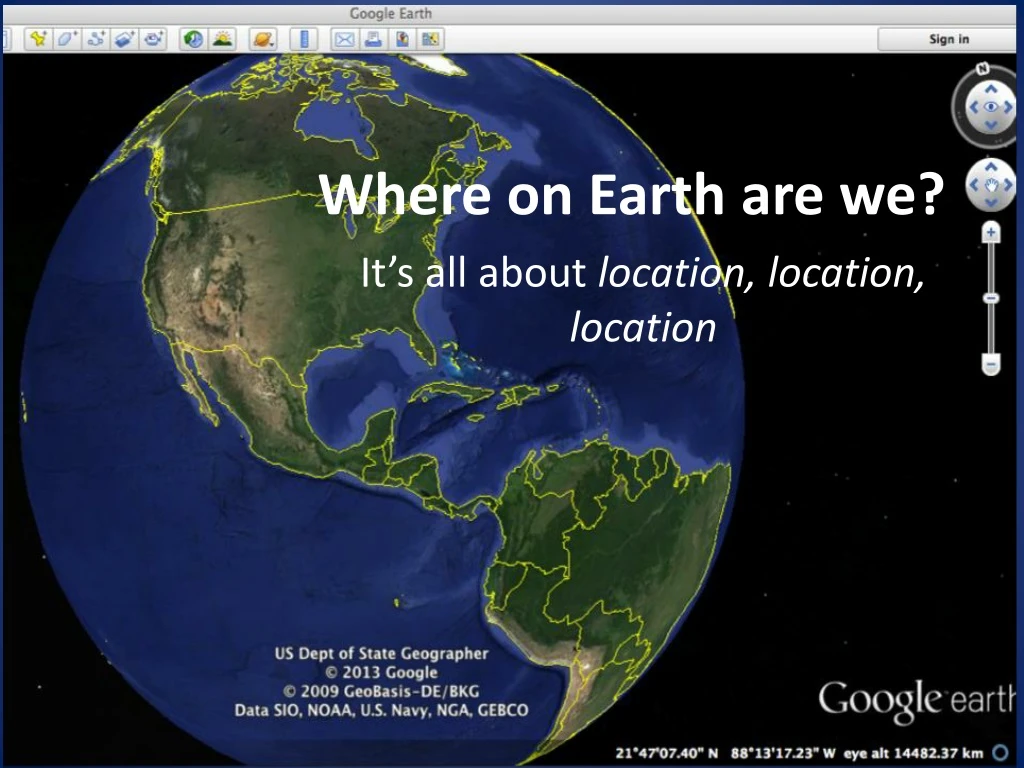
Where on Earth are we?. It’s all about location, location, location. Where are we RIGHT NOW?. To identify where we are on the earth, we use lines of latitude and longitude to make a grid on Earth’s surface

E N D
Where on Earth are we? It’s all about location, location, location
To identify where we are on the earth, we use lines of latitude and longitude to make a grid on Earth’s surface • Every point on the earth has a unique address using latitude and longitude
Latitude • Imaginary lines around the earth, used to measure distance North or South of the equator • Also known as parallels (they are all parallel to each other) • Lines of latitude run East-West around the earth
Latitude • Latitude is measured in DEGREES NORTH (°N) or DEGREES SOUTH (°S) of the equator • Toronto is at about 43 °N • This means Toronto is 43° North of the equator • Rio de Janiero, Brazil is located at 23°S • Rio is 23° south of the equator
Important Lines of Latitude • Equator (0° N or S) • Tropic of Cancer (23.5° North) • Tropic of Capricorn (23.5° South) • Arctic Circle (66.5° North) • Antarctic Circle (66.5° South)
Longitude • Imaginary lines used to measure distance east or west • Lines of longitude are also called meridians • Lines of longitude run north-south, meet (converge) at the north and south poles
Line of Reference for Longitude? • Latitude measures distance north and south of the Equator • What line do we use to measure longitude?
Prime Meridian at Greenwich Chosen as the reference point from which we measure longitude Longitude is measured east or west of the Prime Meridian, which runs north-south straight through the Greenwich Observatory More on WHY when we talk about time zones
Longitude • Longitude is measured in DEGREES East (°E) or DEGREES West (°W) of the Prime Meridian • Toronto is located at 79°W • Toronto is 79° west of the Prime Meridian • Istanbul, Turkey is located at 28°E • Istanbul is 28° east of the Prime Meridian
Important Lines of Longitude • Prime Meridian (Greenwich, UK) 0 degrees longitude • International Date Line 180° E or 180° W (exactly half way around the world from Prime Meridian)
Latitude and Longitude Any location on earth can be identified using the latitude and longitude Latitude & Longitude are measured in Degrees (°) Each degree is made up of 60 minutes (‘) Each minute is made up of 60 seconds (“) Northern Secondary School is located at 43° 42’ N, 79° 23’ W 43 degrees, 42 minutes North; 79 degrees, 23 minutes West