Download
1 / 16
160 likes | 296 Views
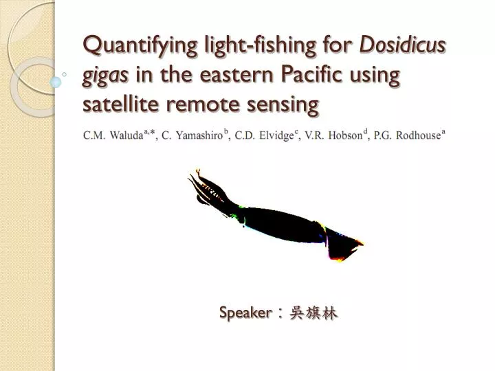
Quantifying light-fishing for Dosidicus gigas in the eastern Pacific using satellite remote sensing. Speaker : 吳旗林. 1. Introduction. Phylum: Mollusca Class: Cephalopoda Order: Teuthida Family: Ommastrephidae Genus: Dosidicus Species: Dosidicus gigas. 1. Introduction.

E N D
Quantifying light-fishing for Dosidicus gigas in the eastern Pacific using satellite remote sensing Speaker:吳旗林
1. Introduction • Phylum: Mollusca • Class: Cephalopoda • Order: Teuthida • Family: Ommastrephidae • Genus: Dosidicus • Species: Dosidicus gigas
1. Introduction • Squid jigging vessels operate at night using powerful lights (up to 300 kW per vessel) to attract squid.(Rodhouse et al., 2001) • Using remotely sensed data from the United States Defence Meteorological Satellite Program-Operation Linescan System (DMSP-OLS) it is possible to observe the distribution of fishing fleets around the globe by means of the light emitted during fishing operations. (Rodhouse et al., 2001)
1. Introduction • In order to quantify fishing effort using lights, data on the distribution and abundance of vessels were obtained via satellite tracking using the ARGOS system. • By using ARGOS data to calibrate DMSP-OLS images, we are able to estimate fishing effort in terms of the ‘area illuminated’ by the fishing fleet.
1. Introduction • In this study, we examine the fishery for Dosidicus. gigas off the coast of Peru and in the adjacent high seas during the 1999 fishing season using satellite remote sensing and Geographic Information Systems (GIS) techniques.
2. Materials and methods Fig. 1. Map of the Eastern Pacific. Boxed region indicates area from which DMSP-OLS and ARGOS data describing the distribution of the Dosidicus gigas light-fishing fleet were derived. Dashed line indicates 200 nautical mile Exclusive Economic Zone (EEZ).
2. Materials and methods The Argos System
2. Materials and methods Analyses - Fleet distribution during 1999 • The distribution of the squid fleet fishing off the coast of Peru was examined during July to December 1999. No fishing took place during January to June of this year. • The location of the fishing region as described by(a) illuminated area derived from DMSP-OLS data and(b) ARGOS data was examined on both an annual and monthly basis in order to examine patterns of distribution over the fishing season and make comparisons between the two data sources.
2. Materials and methods Analyses - Calibration and estimation of vessel numbers in Peruvian waters • Using a GIS, the area illuminated was calculated for each image and divided by the number of vessels fishing in order to give an estimate of the amount of light emitted per vessel, and quantify fishing effort using lights from DMSP-OLS.
3. Results Analyses - Fleet distribution during 1999 Fig. 2. Distribution of the Dosidicus gigas light-fishing fleet (July-December 1999) using data from DMSP-OLS (left panel), and ARGOS (right panel). Solid line indicates 200 and 1000 m bathymetric contours.
3. Results Analyses - Fleet distribution during 1999 Fig. 3. Monthly distribution of the Dosidicus gigas fleet off the coast of Peru, July –December 1999. DMSP-OLS data shown in yellow; ARGOS positions shown in red.
3. Results Analyses - Calibration and estimation of vessel numbers in Peruvian waters Fig. 4. The number of vessels fishing in Peruvian waters versus the number of illuminated pixels in corresponding DMSP-OLS images. (—) Regression line (R2=0.72), error bars indicate 95% confidence intervals (regression equation: Nvessels=2.467+(0.03Npixels); P<0.001; n=103).
3. Results Analyses - Calibration and estimation of vessel numbers in Peruvian waters Fig. 5. Number of vessels fishing off the coast of Peru, July–December 1999. Actual number of vessels derived from ARGOS data (black circles); estimated number of vessels derived from DMSP-OLS images (grey triangles) using the regression equation shown in Fig. 4.
4. Discussion • The use of DMSP-OLS data appears to give a valid indication of the distribution and abundance of the fleet fishing off the coast of Peru. • ARGOS data are available more frequently and cover the whole of the fishing season, but DMSP-OLS data seem to be a good proxy for examining the spatial distribution of the fleet. Both sets of data are automatically received such that it is impossible to misreport the location of a vessel, making satellite monitoring a powerful tool in the policing of fisheries, and the estimation of fishing effort on the high seas.
4. Discussion • The use of illuminated area as a measure of fleet size appears to be a good estimator of vessel number. • Some degree of variability was observed in the light signature emitted by a single vessel, which may potentially be attributed to factors such as atmospheric variability, angle of satellite, high cloud cover and timing of satellite pass. • Also, the light signature from several vessels fishing close together may give an underestimation of the area illuminated per vessel due to an overlap of light signatures.