Download
1 / 17
170 likes | 425 Views
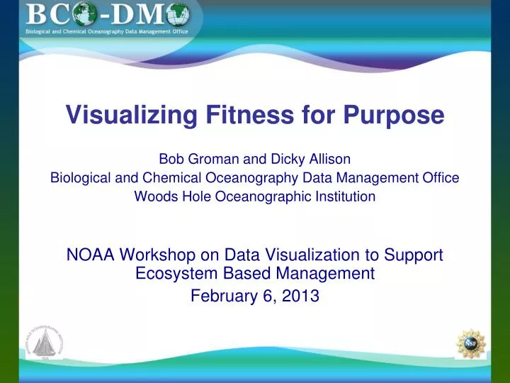
Visualizing Fitness for Purpose. Bob Groman and Dicky Allison Biological and Chemical Oceanography Data Management Office Woods Hole Oceanographic Institution NOAA Workshop on Data Visualization to Support Ecosystem Based Management February 6, 2013. BCO-DMO is funded by NSF.

E N D
Visualizing Fitness for Purpose Bob Groman and Dicky Allison Biological and Chemical Oceanography Data Management Office Woods Hole Oceanographic Institution NOAA Workshop on Data Visualization to Support Ecosystem Based Management February 6, 2013
BCO-DMO is funded by NSF • In 2006, two data management offices (US JGOFS and US GLOBEC were united and enhanced, and supported by an NSF grant Biological and Chemical Oceanography Data Management Office (BCO-DMO). • BCO-DMO is recognized in the 2011 Division of Ocean Sciences Sample and Data Policy (NSF, 2011) as one of several program-specific data offices to support projects funded by Ocean Sciences Biological or Chemical Oceanography Sections or NSF OPP ANT Organisms & Ecosystems Program
BCO-DMO staff provide data management support for investigators We: Partner with individual investigators and those associated with collaborative research projects Support data management throughout the project Capture and record documentation (metadata) sufficient to support data reuse and re-purposing Manage data and metadata and ensure their availability online Archive in appropriate data center (e.g. NODC); and cooperate and contribute to special repositories (e.g. CDIAC, OBIS, GenBank)‘proposal to preservation’ What is BCO-DMO?
We do not: Create “products” Make contour plots Attempt data analysis (except sometimes for quality control) Scrape web sites for data Want to duplicate the efforts of other data repositories or data collection centers
About the data and the contributors: • We accommodate a wide variety of biological, chemical, and physical oceanography measurements, laboratory experiments, and modeling results. Metadata and data are added or updated daily. • In addition to providing access to the metadata, we also provide online access to the data in a consistent manner, with sufficient metadata so others can make full use of these data.
Our system components: • Metadata are stored in a MySQL relational database • Backend data access is via the JGOFS/GLOBEC data management system supporting tabular data, images, movies, links, etc. • Text based access via ColdFusion (with conversion to Drupal eventually) • Geospatial access via (OGC compliant) MapServer • Converts our metadata to FGDC standard PRN • Download/extract data in many formats including CSV, TSV, Matlab, ODV, netCDF, KML, WMS, and WFS
How the system is used: • Text-based/category access (by people, project, dataset, award, deployment, instrument, parameter, …) • Geospatial access via MapServer • Keyword search option within MapServer • Faceted search in (beta) advanced search • Viewing the data
How do we accomplish our task? Text-based access – www.bco-dmo.org
How do we accomplish our task? MapServer - www.bco-dmo.org Geospatial access is provided by the MapServer interface:
Geospatial context: • MapServer itself provides “fitness for purpose” information • Displays deployments, mooring locations, experiment locations • Zoom in option • Rubber banding (rectangular only) • Immediate feedback on deployments in the area selected/viewed • Selecting dataset(s) of interest • Not discussing textual/search options in this talk
Visualization options depends on type of data • List of parameters collected and values shown at that location
Using Google Map with KML file download For the ANT-XXIV_1 deployment, select the CTD_MOCNESS10 dataset. Right click on the dataset name, and select the “View/export mapped dataset” option. Then choose the Save As KML file for displaying by GoogleMap.
Fitness for Purpose • The goal for the user interface is to have an effective visualization to aid the investigator in determining whether data will be useful to them • Can we be “All things to all people”? We can try, and one of the important requirements is information about the data. Tools must be “data driven”, and metadata enables this. • Recognize that different audiences require different interfaces (but adds to development time and cost, and reduces one’s focus) • Attributes of fitness include data location, data type, acquisition time, data & metadata quality, and the methodology used to collect and process data. • The richer the options, the more complex the system is to use. Help text, video help files, careful programming, … can mediate this.
http://www.bco-dmo.org Bob Groman, rgroman@whoi.edu 508-289-2409 Dicky Allison, dallison@whoi.edu 508-289-2298