Download
1 / 16
170 likes | 270 Views
GPS to GIS: Collecting and Mapping Real-World Data. Collect GPS data around your school, and import it into ArcView to create shapefiles and grids. In order to do this exercise, you will need:. GPS to GIS: Collecting and Mapping Real-World Data. In order to do this exercise, you will need:

E N D
GPS to GIS: Collecting and Mapping Real-World Data Collect GPS data around your school, and import it into ArcView to create shapefiles and grids.
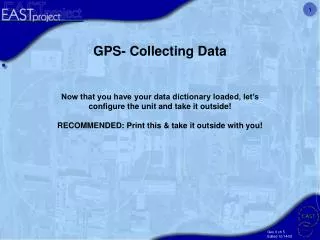
GPS to GIS: Collecting and Mapping Real-World Data In order to do this exercise, you will need: • A Global Positioning System receiver • Microsoft Excel or another database program • ArcView GIS • Spatial Analyst extension for grid themes • An extension that allows you to convert points to lines or polygons • Field Data Sheets • Clipboards and pencils. • Good weather is not required, but it sure helps.
Cartesian coordinate systems: • The x coordinate is longitude, or the distance east or west from the prime meridian • The y coordinate is latitude, or the distance north or south from the equator • There are 360 degrees in a circle. There are 60 minutes in a degree, and 60 seconds in a minute. So there are 3600 seconds in a degree.
ArcView reads and understands coordinates in decimal degrees • To convert decimal minutes to decimal degrees: • Divide the decimal minutes by 60 • Add the number of degrees. • Once you know how to do this by hand, you can easily have Excel or another spreadsheet program perform the calculations with your data.
ArcView reads west longitude as negative and east longitude and positive. • ArcView reads north latitude as positive, and south latitude as negative.
Some GPS tips: • Be sure you understand how to read the accuracy of the data and to obtain the most accurate readings possible. • Stand still for a minute or more before taking a reading, and average your position if your GPS unit will do averages. • Thick trees and buildings may block the GPS unit’s “view” of satellites overhead. • Collect points in the order that they should appear when they are mapped.
Here are a few hints for collecting data: • Take some time to glance at your data sheets while you are doing this exercise. Are you in the right hemisphere? Is there one reading that is very very different from all the others? • Remember to collect data in the order it is to appear on the map. • Remember to stand in position for 30 seconds or more to increase the accuracy of their data. • Respect private property and the privacy of individuals. • Have fun!