Download
1 / 22
220 likes | 347 Views
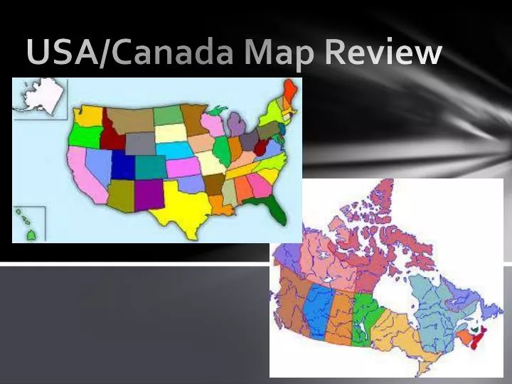
USA/Canada Map Review. Settlement Review. What were the barriers to westward migration in the United States?. Resources Review. American History . American cities are named after other cities, or people from other areas of the world. Dublin, OH Richmond, VA Paris, TX St. Louis, MO

E N D
Settlement Review • What were the barriers to westward migration in the United States?
American History • American cities are named after other cities, or people from other areas of the world. • Dublin, OH • Richmond, VA • Paris, TX • St. Louis, MO • San Francisco, CA • New Mexico • Detroit, MI • Most of us are not original inhabitants of this country. We bring our cultures here and, over time, adapt to the new environment, and change when we come into contact with other cultures.
Variations in Colonial Economies • The Appalachian mountains are very close to the coast in New England. Therefore, those colonies developed into manufacturing, shipbuilding and fishing based economies. • The southern colonies were mainly agricultural. • Many differences developed between the areas based on their economic activities that eventually led to the Civil War. • The south needed labor (slaves) to make their plantations successful.
American Expansion • 1607 to 1783: USA was limited to the origional 13 colonies. • 1783 to 1803: USA moved into the Ohio River Valley. • 1803: Louisiana Purchase • 1818, 1819 and 1845: Annexation of Minnesota, Florida and Texas • 1846: Oregon Territory gained by treaty with Britain. • 1850: Mexican Cession after the Mexican War • 1853, 1867 and 1898: Annexations of southern AZ/NM, Alaska, Hawaii
Cultural Diffusion in America • American Slang • Funky • Originally used in British English to mean musty or foul smelling. • African Americans used it in the 1930s to mean excellent. • In the 1950s and 1960s Funk music was invented. • In the 1980s it meant odd, or strange. • Many different ethnic groups use the word to day and it means many different things. Jazz Music European and African immigrants blended their music together to form Jazz. From its birth in New Orleans it diffused throughout America and, in fact, the whole world.
Types of Diffusion • Relocation Diffusion • Cultural Traits spread as people migrate. • Examples: Languages, Religions, the hamburger. Expansion Diffusion Innovation gradually spreads from its source. Examples: Jazz Music, Rap Hierarchical Diffusion Cultural traits spread from places of greater influence to places of lesser influence. Examples: Fashion choices spread from the big cities to smaller towns over time.
American Cultural Traits • Language: No official language, mostly English, more Spanish recently. • Religion: No official religion. Mostly Christian. 25% Catholic. 1200+ groups. • Settlement/Land Use: Concentrated on East Coast – Washington to Boston is considered a Megalopolis. Mostly urban since the industrial revolution. In recent years the center of the population has been moving south and west. • Education: Free education to the 12th grade. 80 percent graduate high school. Generally considered a reason for America’s economic power. • The Arts, Customs, and Traditions: Many forms of writing, art, music and entertainment. Origins from many of the immigrant groups that have made America their home.
Assignments • Read the Sea to Shining Sea articles. • Create a Sea to Shining Sea map of the United States following one of the cross country interstates as was done in the articles. • You may use any variation of I-10, I-20, I-40, I-80, I-90 to go from coast to coast. You need to draw the route, identify the states and major cities, show the physical features and/or national monuments/parks that the road goes through.
Cultural Aspects of the USA • Complete the chart using information from your notes, and Chapter 8 Section 1. People and Languages Religion Settlement and Land Use Education Arts, Customs and Traditions
USA Regions Manufacturing industries: Pittsburgh is a steel producer. This industry declined in the late 1900s. • The Northeast Financial Center: New York is the country’s leader in commerce and banking. Trade: Many cities are important commercial centers and ports Textiles: New York is a major fashion center.
USA Regions • The South After the Civil War High-Tech and aerospace industries, automobile manufacturing, banking. Tourism Immigration from Caribbean, Mexico, and other areas in Latin America. Before the Civil War Mostly rural and agricultural. Cotton, Rice, and Tobacco plantations worked by slaves. Lacked industries and railroads.
USA Regions Cities The Midwest is a leading producer of industrial goods. Chicago has a port on Lake Michigan and is the largest Midwest city. Detroit, Cleveland, Milwaukee are also large cities, and home to such industries as automotive design and construction. Distribution centers for the interior of the continent. • The Midwest Farm Central One of the most productive agricultural regions in the world. The Corn Belt stretches from Nebraska to Ohio, used for feed. The Dairy Belt is further north, and produces milk, cheese and butter.
USA Regions Cities Los Angeles is the second largest American city (and 2nd largest Spanish speaking city, too). The Owens River Project brought water to LA in the early 20th century, allowing huge growth for LA. • The West The Pacific States Largest population centers of the West. Originally agricultural, but now industrial, ranging from aircraft manufacture to high-tech firms. Immigration from Latin America and Asia. The Interior West Farming and raising livestock has been the main industry throughout history. The Wheat Belt stretches from Texas to the Dakotas. Mining in the Rockies, and tourism (Skiing) also are modern activities here
Assignments • Complete the Map Atlas Activity • Complete the sample test questions.
USA Geographic Issues • Environmental Issues Decline in the populations of animals like salmon/ Competition for limited water resources Creation of the “Dead Zone” in the Gulf of Mexicol Pollution and Acid Rain
USA Geographic Issues • Cities and Population While Americans have been moving to the cities since the 1800s, now many people are heading to the suburbs, and the inner cities in some areas are losing population - Detroit, cities in the Northeast. Makes it difficult to provide basic services with reduced tax base. Some wealthier people are moving back to the inner city. Some neighborhoods are being revitalized in a process called Gentrification. Causes low income people to not be able to afford to live near their jobs. Originally immigrants came from Europe and moved to the Northeast. Now immigrants come from Latin America and Asia. These immigrants settle throughout the USA.
USA Culture • Melting Pot vs. Salad Bowl • Originally it was thought that all immigrants would come to America, and all of their cultures would blend into a new “American” culture. • Now, it is thought that America is more of a salad bowl. All cultures come to America, but keep pieces of their own culture. We are all in the same bowl, but each group keeps its own particular flavor.
US Economy • The USA is the largest producer of goods and services in the world – highest GDP. • The USA imports more stuff than we export, however. This trade deficit causes the USA to lose jobs. • Recently the USA has paired with other countries such as Mexico and Canada to open barriers to trade, adopting the NAFTA Free Trade Agreement. This lowers tariffs between countries, lowering prices. It allows American companies, however, to relocate to Mexico, for example, where labor is cheaper, causing America to lose jobs.
Assignment • Complete the Electoral College Map Assignment