Download
1 / 8
80 likes | 89 Views
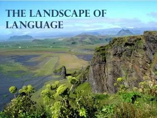
Hydrologic Properties of the Landscape. David G Tarboton Utah State University http://www.engineering.usu.edu/dtarb/ david.tarboton@usu.edu. Outline. Slope and Contributing Area The D Algorithm TOPMODEL Wetness Index Terrain Stability Mapping SINMAP ArcView Extension

E N D
Hydrologic Properties of the Landscape David G Tarboton Utah State University http://www.engineering.usu.edu/dtarb/ david.tarboton@usu.edu
Outline • Slope and Contributing Area • The D Algorithm • TOPMODEL Wetness Index • Terrain Stability Mapping SINMAP ArcView Extension • Topographic texture and drainage density • TARDEM programs for watershed and channel network delineation
References • Tarboton, D. G., (1997), "A New Method for the Determination of Flow Directions and Contributing Areas in Grid Digital Elevation Models," Water Resources Research, 33(2): 309-319. (available online at http://www.engineering.usu.edu/dtarb) • Beven, K., (1991), "Spatially Distributed Modeling: Conceputal Approach to Runoff Prediction," Chapter 17 in Recent Advances in the Modeling of Hydrologic Systems, Edited by D. S. Bowles and P. E. O'Connell, NATO ASI Series C: Mathematical and Physical Sciences - Vol. 345, Kluwer Academic Publishers, Dordrecht, p.373-387. • Beven, K., R. Lamb, P. Quinn, R. Romanowicz and J. Freer, (1995), "TOPMODEL," Chapter 18 in Computer Models of Watershed Hydrology, Edited by V. P. Singh, Water Resources Publications, Highlands Ranch, Colorado, p.627-668. • Pack, R. T., D. G. Tarboton and C. N. Goodwin, (1998), "The SINMAP Approach to Terrain Stability Mapping," 8th Congress of the International Association of Engineering Geology, Vancouver, British Columbia, Canada 21-25 September 1998. (available online at http://www.engineering.usu.edu/dtarb)
UWRL Water Engineering Graduate Program 10 Faculty, 40 Graduate students Thrusts • Watershed and Basin Hydrology • Subsurface contamination assessment and mitigation • Climate and Continental Hydrology • Decision Support for Civil and Environmental Systems • Water Quality • Dam Safety Risk Assessment • Flood Plain Management • Modeling of Hydraulic Systems for Design
My Research • Distributed hydrologic modeling. • The geomorphologic structure of river networks/channel network theory. • Digital elevation model algorithms. • Terrain stability mapping and GIS use in hydrologic modeling. • Snowmelt processes and models. • Nonparametric methods in stochastic hydrology. For more detail and papers see http://www.engineering.usu.edu/dtarb/