Download
1 / 23
230 likes | 285 Views
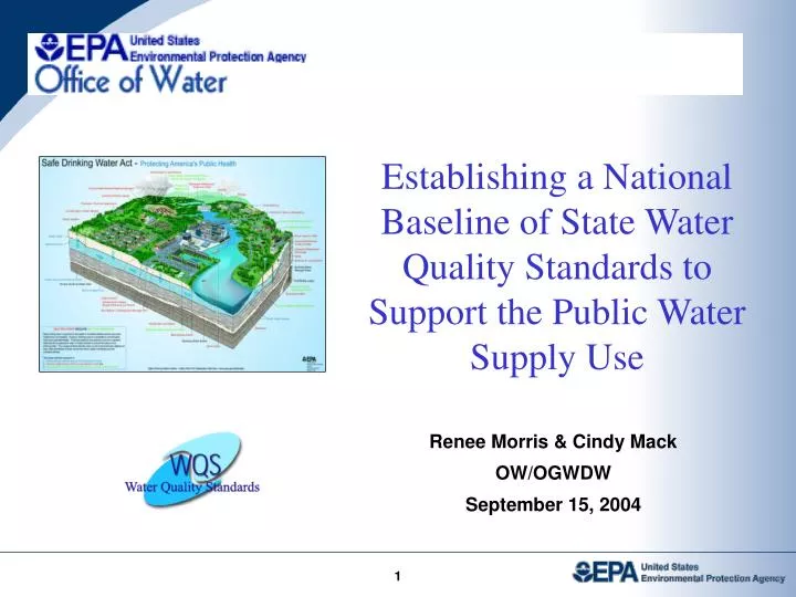
Establishing a National Baseline of State Water Quality Standards to Support the Public Water Supply Use. Renee Morris & Cindy Mack OW/OGWDW September 15, 2004. Why are We Establishing a National Baseline ?.

E N D
Establishing a National Baseline of State Water Quality Standards to Support the Public Water Supply Use Renee Morris & Cindy Mack OW/OGWDW September 15, 2004 1
Why are We Establishing a National Baseline ? Part of EPA’s Strategic Plan for 2004-2008 to refocus environmental and public health protection programs to be more integrated at the watershed level: This assessment will • Provides a catalyst for close inter-program coordination among Regional and State WQS and SWP staffs • Improves the capability of our IT infrastructure • Contributes to the ongoing development of the first national database of State water quality standards • Provides critical information for annual planning and management decisions 2
Integration Measures SOURCE WATER PROTECTION INTEGRATION MEASURES Measure # 21 : Baseline for State WQS - PWS : By 2005,identify waters used by community water systems as a source of drinking water for which States / Tribes, have wherever attainable, adopted water quality standards with public water supply as a designated use, or for which States / Tribes have adopted water quality standards that provide an equal level of protection. (Note: An equivalent level of human health protection refers to the MCL, or to the section 304(a) human health criterion water plus organism value.) Measure # 24 : State WQS - PWS : By 2008, 95% of surface waters that are used as a drinking water source by community water systems will have, wherever attainable, water quality standards with public water supply as a designated use or will have water quality standards that provide an equal level of protection. 3
Who are the We? Office of Water Office of Ground Water and Drinking Water Office of Science and Technology Immediate Office Drinking Water Protection Division Standards & Health Protection Division ---Mike Muse --- Renee Morris --- Cindy Mack ---Bill Kramer ---Thomas (Tod) Dabolt --- Sharon Gonder 4
Region and State Coordination • WQS Coordinators • SWP Coordinators • IT/GIS Staff • State Program Managers 5
Other Players & Roles • USGS: National Hydrography Dataset (NHD), CWS Intake Review • EPA Region Program Offices:State Program Office liaison -- plan, support and coordinate State validation effort for their Office (DW and WQS) • EPA IT/GIS: State and Regional liaison -- plan, support and coordinate State validation effort • States (future): Plan and conduct validation of CWS intakes and applicable water quality standards 6
Timeframe CALENDAR 2004 Assembly (complete) PHASE ONE Technical Assembly of Draft WQS Baseline CALENDAR 2005 Measure 21 (complete) PHASE TWO State & Regional Validation of Draft WQS Baseline CALENDAR 2006 Measure 24 (begins) PHASE THREE Internal EPA Review of WQS Baseline 7
OW/IO WebRIT TOOLS & RAD SERVICES Estimated Cost OGWDW/Prevention OST CWS INTAKES & STATE DW STANDARDS NAT. WQS REPOSITORY & NATIOINAL WQSDB $74,819 $114,301 $171,483 $360,603 FY 04 8
Structure of Baseline Project WebRIT & Table Editor User/ Application Directory/ State Files Directory and Subfiles AskWATERS Application WQS DWI Intakes Data 9
Drinking Water Intake Locations • EPA has up to 3 locations for each Drinking Water Intake (DWI) • 1 location is “on” the stream network • NHD = location on National Hydrography Dataset stream network • Useful for navigation, modeling, and cross-program analyses • 2 locations are “off” the stream network (point not linked to NHD centerline) • SDWIS = lat/lon location from Safe Drinking Water Information System • USGS = USGS improved lat/lon location if available (~5-10% of the intakes) • Useful for visual representation 10
Project Goals • Approve or correct: 1. The best representation “on” stream location (point linked to NHD centerline) 2. The best representation “off” stream location” (point not linked to NHD centerline) 11
Using the WebRIT • WebRIT is a web application for viewing and updating locational data • Don’t open the WebRIT application if: • You can determine the existing locations are correct by looking at the static image provided in the Wrapper • Do use the WebRIT to: • Get a “better” look at the DWI locations • Zoom in/out • Turn other background layers on/off • Correct the “off” stream network location • Correct the “on” stream network location 12
WebRIT Process Flow • Hotlink from Wrapper to WebRIT application • WebRIT opens zoomed to the intakes you are working on • Zooms in/out or turn layers on/off as necessary • Correct the “off” & “on” stream location, if necessary • Exit the WebRIT to return to the Wrapper 13
WebRIT Map Symbology SDWIS “off” stream location USGS “off” stream location NHD “on” stream location Intakes currently being reviewed 14
WebRIT Application Layout • The Toolbar provides the user with the tools needed to locate and select map features of interest • TheMain Map, or central view, displays results created with WebRIT tools • The Legend/Layers List displays current data layers present in the map 16
Correcting “Off” Stream Locations Using WebRIT • When one “off” stream location is incorrect • Delete the incorrect location • Keep the correct location • When both USGS and SDWIS locations are incorrect • Delete both incorrect locations • Create new location and associated metadata • Assign new location to its DWI ID 19
Correcting “On” Stream Locations Using WebRIT • When the NHD linked intake (“on” stream location) is incorrect • Select incorrect location • Delete incorrect location • Create new location and associated metadata • Assign new location to its DWI ID 21
QUESTIONS 23