Download
1 / 1
10 likes | 127 Views
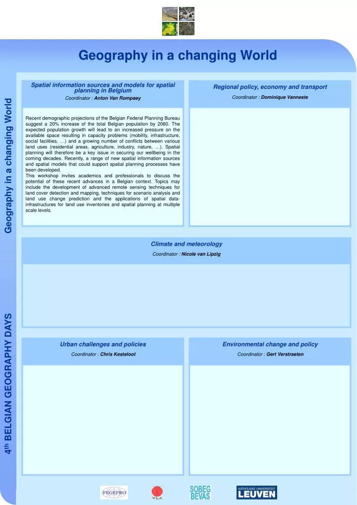
Geography in a changing World. Spatial information sources and models for spatial planning in Belgium Coordinator : Anton Van Rompaey. Regional policy, economy and transport Coordinator : Dominique Vanneste.

E N D
Geography in a changing World Spatial information sources and models for spatial planning in BelgiumCoordinator : Anton Van Rompaey Regional policy, economy and transport Coordinator : Dominique Vanneste Recent demographic projections of the Belgian Federal Planning Bureau suggest a 20% increase of the total Belgian population by 2060. The expected population growth will lead to an increased pressure on the available space resulting in capacity problems (mobility, infrastructure, social facilities, …) and a growing number of conflicts between various land uses (residential areas, agriculture, industry, nature, …). Spatial planning will therefore be a key issue in securing our wellbeing in the coming decades. Recently, a range of new spatial information sources and spatial models that could support spatial planning processes have been developed. This workshop invites academics and professionals to discuss the potential of these recent advances in a Belgian context. Topics may include the development of advanced remote sensing techniques for land cover detection and mapping, techniques for scenario analysis and land use change prediction and the applications of spatial data-infrastructures for land use inventories and spatial planning at multiple scale levels. Climate and meteorology Coordinator : Nicole van Lipzig Urban challenges and policies Coordinator : Chris Kesteloot Environmental change and policyCoordinator : Gert Verstraeten