Download
1 / 17
170 likes | 263 Views
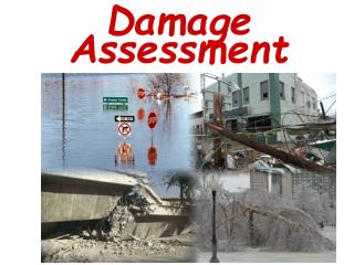
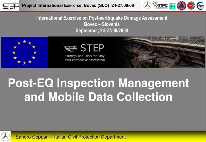
International Exercise on Post-earthquake Damage Assessment Bovec – Slovenia September, 24-27/09/2008. Post-EQ Inspection Management and Mobile Data Collection. Sandro Coppari – Italian Civil Protection Department. Austria. Albania. Cyprus. Croatia. Macedonia. Montenegro. Greece.

E N D
International Exercise on Post-earthquake Damage Assessment Bovec – Slovenia September, 24-27/09/2008 Post-EQ Inspection Management and Mobile Data Collection Sandro Coppari – Italian Civil Protection Department
Austria Albania Cyprus Croatia Macedonia Montenegro Greece Romania Serbia Slovenia Spain Turkey Open to Europe We are cooperating in order to define and promote a European Standard Methodology for Emergency Management PARTNERS GUESTS
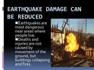
Collapsed houses unusable houses damaged houses 21.334 106.787 368.224 Project International Exercise, Bovec (SLO) 24-27/9/08 LIKELY SCENARIO Post-EQ DATA ENTRY INSPECTIONS IN 120 days 1583 Form/day 475.000 Houses 190.000 Buildings 40 F/g/Team 7 insp./team/day 230 teams/day 460 tech./day 1800 technicians for 4 months Sandro Coppari – Italian Civil Protection Department
Manually- given out in the census form of damages, through operator DATA ENTRY Scanner –scanning the census form to obtain a file. XML to populate the post earthquake DB. Many data entry methods PDA – filling in the census form of damages directly on PDA. The data can be sent to the data collection center by GPRS, EDGE, UMTS either by deferred entry or real time entry Digital pen - filling in the census form of damages using the digital pen technology. The data can be sent to the data collection center in real time or by deferred entry, through electronic inkpot
Apache Web Server OpenLayers Library Geospatial Data Abstraction Library Proj.4 Cartographic Projections Library MapStorer for Mapserver Open-Source software FileZilla FTP Server
The mobile application using ESRI ArcPad S.W. ArcPad is software utilised for mobile GIS and field mapping applications using handheld and mobile devices. It gives field-based personnel the ability to take, analyze, and display geographic information, without the use of expensive and outdated map books With ArcPad, you can • Perform reliable, accurate, and validated field data collection. • Incorporate GPS, rangefinders, and digital cameras into GIS data collection. • Share operation centre data with field-personnel for updating and decision making. • Improve the productivity of GIS data collection. • Improve the accuracy of the GIS database and update it
Base Maps - Local orthophotos imported directly from file or web by specifying coordinates in any known map projection - Maps overlayed from main commercial data providers: providing immediate, free high resolution imagery at global level. - Web-based data sources connected using open standards’ interfaces (e.g. Ministries and International Organisations)
Compatibility with Open Standards for Data Sharing Web Mapping Service(WMS) – A standard for publishing interactive maps on the web Web Feature Service(WFS) – A standard for consulting and editing geographic features (vector data) using web-based technology Compliance with Open Geospatial Consortium WMS and WFS standards for data consultation and publication
Compatibility with Free Commercial Data Services Road Maps Imagery Hybrid views
STEP Server: 3 modules The Client Mod. for planning the survey The Mobile Mod. for data gathering in the field The Server Mod. for publishing the collected data
ZOOM PAN DOT POLIGON S. POLIGON P. MOVE Planning of Survey Locations
The Mobile Application Data transmission using GPRS/UMTS Global Localization through Satellite Positioning
Data Storage Backup Media Data gathering Survey data Multimedia content
Data Publication Collected data can be published: • Online using interactive map server • Offline through interactive package that can be sent by email
Future evolution • Online collaboration through shared datasets to allow distributed teamwork - Sharing of raw data through web-services
CONCLUSIONS • STEP SERVER TECHNOLOGY MAKES DATA COLLECTION AND DATA MANAGEMENT EASIER • MANY DIFFERENT ENTRY METHODS DON’T LET US VULNERABLE • PREPAREDNESS IS THE KEY FOR SUCCESSFUL MOBILE DATA AQUISITION
Fine Thank you for listening. Presidenza del Consiglio dei Ministri Sandro Coppari – Architect www.protezionecivile.it sandro.coppari@protezionecivile.it