Download
1 / 23
230 likes | 332 Views
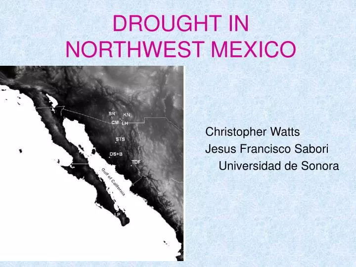
DROUGHT IN NORTHWEST MEXICO. Christopher Watts Jesus Francisco Sabori Universidad de Sonora. Meterologic Drought. … a prolonged period when the rainfall is significantly below normal. Mean = 288 mm in 69 years from 1936 to 2004 10-year Means

E N D
DROUGHT IN NORTHWEST MEXICO Christopher Watts Jesus Francisco Sabori Universidad de Sonora
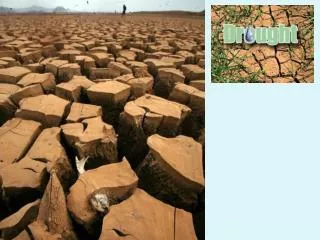
Meterologic Drought … a prolonged period when the rainfall is significantly below normal
Mean = 288 mm in 69 years from 1936 to 2004 10-year Means 213 258 277 282 347 356 283
SPI ProbabilidadAcumulada Estado Mayor de 2 0.0228 Extremadamente húmedo 1.50 a 1.99 0.0668 Muy húmedo 1.00 a 1.49 0.1587 Moderadamente húmedo -0.99 a 0.99 0.5000 Cercano a lo normal -1.00 a -1.49 0.8413 Moderadamente seco -1.50 a -1.99 0.9332 Severamente seco Menor de -2 0.9772 Extremadamente seco Indice Estanderizado de Precipitación Standardized Precipitation Index SPI
Definición de Sequía Atípica FONDEN (2004) Período Temporada de Lluvias Verano, Invierno, Todo el año Criterio Que la lluvia total durante el período esté por debajo del decil 0.1. La probabilidad de la sequía atípica es del 10% (SPI < -1.28) McKee (1993): Una secuencia de períodos consecutivos con SPI negativo, incluyendo al menos uno con SPI < -1
Stations with data from the 1920s ↓ ↓ ↓ ↓ ↓ ↓
↓ ↓ ↓ ↓ ↓ ↓ ↓ ↓
↓ ↓ ↓ ↓ ↓ ↓ ↓ ↓
↓ ↓ ↓ ↓ ↓ ↓ ↓ ↓ ↓ ↓ ↓
↓ ↓ ↓ ↓ ↓ ↓ ↓ ↓ ↓ ↓ ↓ ↓
REGIONAL CENTER FOR CLIMATE ANALYSIS (RCCA) Hermosillo, Sonora General Objective Integrating work groups from different educational and governmental institutions in the region to form a Regional Climate Analysis Center for Northwest Mexico surrounding the Gulf of California. The Center will undertake analysis of the regional climate related data in order to develop tools and products that will benefit the diverse needs of different sectors in society.
Participating Institutions Sonora: University of Sonora (Christopher Watts), CIBNOR (Luis Brito), CEDES (Julio Rodríguez), CNA GRNO (Lucas Oroz), INIFAP (José Grageda), ITSON (Jaime Garatuza), CEA (Medardo Meza), PC (Carlos Arias) Baja California: CICESE (Teresa Cavazos), UABC (Rafael Cueto), CNA GRPBC (Manuel Colima) Baja California Sur: CIBNOR (Sara Diaz), CICESE (Luis Farfán) Sinaloa: UAS (Fernando Paez), INIFAP (Jaime Macias), CNA GRPN (Rafael Sanz) Chihuahua: CEISS (Víctor Reyes), WWF (Héctor Arias) Durango: CENID-RASPA (Ignacio Sanchez) Arizona: UA [Greg Garfin (CLIMAS), Rob Kursinski (Atmo), David Meko (Tree Ring Lab)], ASU (Joe Zehnder)