Download
1 / 20
200 likes | 316 Views
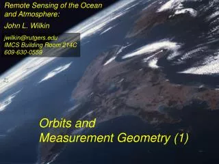
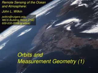
The meteorological and remote sensing operations of the British Antarctic Survey. Steve Colwell. BAS stations. Operational meteorology. Current forecasting facilities at Rothera. Current remote sensing operations. The ARIES system at Rothera. Future developments at Rothera.

E N D
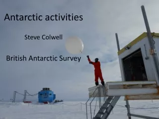
The meteorological and remote sensing operations of the British Antarctic Survey Steve Colwell
BAS stations. • Operational meteorology. • Current forecasting facilities at Rothera. • Current remote sensing operations. • The ARIES system at Rothera. • Future developments at Rothera.
Operational Meteorology • 3 Hourly synoptic program at Halley and Rothera, hourly if in support of aircraft operations. • AWS at Bird Island, South Georgia and Fossil Bluff. • Daily radio-sonde launch at Halley and Rothera. • WIVIS present weather and visibility detector at Rothera. • Vaisala CT25 cloud base recorder at Halley and Rothera.
Forecasting facilities at Rothera • Meteorological observers at station. • HRPT satellite receiver for images and AWS data. • GTS synoptic data sent from Cambridge. • UKMO GRIB charts. • AMPS charts. • Horace system.
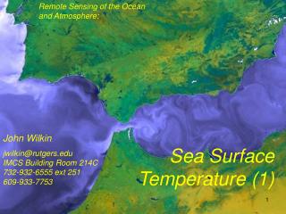
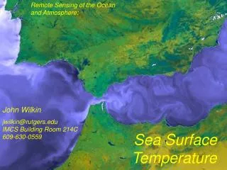
Current remote sensing operations. • Dartcom HRPT receivers at Halley, South Georgia and on the 2 ships. • 46cm flat panel antenna. • active-stabilisation. • Front end false colour display software. • Dundee HRPT receiver at Rothera. • Only data collected at Rothera is currently archived.
ARIES • Antarctic Reception of Imagery for Environmental Science • Dundee HRPT system • 2.4 m Dish • Installed at Rothera in February 1993
Data Archive • One DAT tape every day from February 1993 to February 1999. Only one copy made. • Then DLT tapes – two per month. Two copies made. • All data now stored on spinning disk at BAS. • 1.5TB of zipped data, 5TB if unzipped.
Quick Looks • Reprojected IR channel at a scale of 8km per pixel. • Paper copy until 2000 • JPEG stored from January 1994 • JPEGs put into MDMS
Software (Cambridge) • Use IDL routines for reprojection and display • Now able to process large number of passes automatically from disk. • Still takes a fairly long time – 1 month of data per day. • The software is not very user friendly.
The Future • Horace system is now capable of ingesting the images once they have been converted into Autosat format, this need to be automated. • A bid is in place to give a copy of the ARIES archive to PML who have a department setup to process the images and produce usable products. • We don’t want to duplicate what they have from Palmer at Scripps.
There is an operational requirement at Rothera to have real-time satellite data stream and this can only be achieved by having a ground-station at Rothera. • The choices are. • Install a new X-band satellite receiver station. • Utilise the existing hardware as far as possible as the 2.4m dish has proved very reliable over the past 10 years. • Stick with current HRPT reception and download X-band products from the internet as and when available.