Download
1 / 11
110 likes | 343 Views
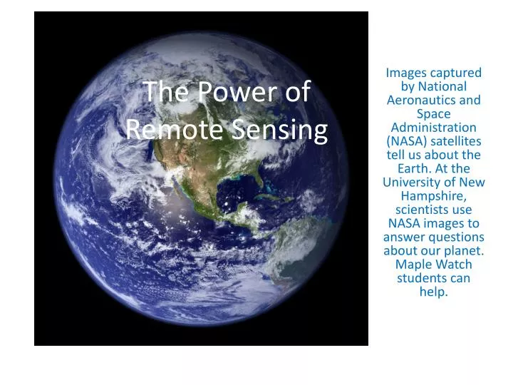
The Power of Remote Sensing. Images captured by National Aeronautics and Space Administration (NASA) satellites tell us about the Earth. At the University of New Hampshire, scientists use NASA images to answer questions about our planet. Maple Watch students can help. For Example….

E N D
The Power of Remote Sensing Images captured by National Aeronautics and Space Administration (NASA) satellites tell us about the Earth. At the University of New Hampshire, scientists use NASA images to answer questions about our planet. Maple Watch students can help.
For Example…. Climate change scientists tell us that volcanoes can cool our planet. The blue line shows the cooling caused by volcanoes in the past 130 years.
Eyjafjallajokull: Cool Us? In April 2010, a volcano erupted in Iceland. The plume of smoke from the volcano blew across the North Atlantic into Europe. • MODIS of volcanic plume over Europe, NASA/MODIS Rapid Response Team, 4/15/10.
Historically, Iceland’s Volcanoes Cooled the Planet! Icelandic volcano Laki, 1783, was observed by Benjamin Franklin, American ambassador to Europe, to cool climate. It altered monsoon patterns and caused drought in Egypt and India. (Andrea Thompson, livescience.com, 4/16/10.) NASA from Aqua satellite 4-17-10.
Too Small? For Now. Eyjafjallajokull was not big enough. 100 times smaller than Mt. St. Helens (British Geological Survey) Pinatubo was 10 times bigger than Mt. St. Helens. Eyjafjallajokull spewing ash only 20,000 to 35,000 feet, not into stratosphere. CBC-CA news, 4/17/10
But Look at That Smoke! Normal view at left is enriched with thermal infrared at right. Silica-rich ash shows as red. Ice-laden plume is blue. No yellow, an indicator of sulphur, is visible although it may be there. (NASA) The chemicals in a smoke plume can be identified from space.
What Else Can Satellites See? Looking down on Earth from 500 miles up, Landsat and MODIS remote sensors see the top of our forest, the canopy! Hyperspectral monitors give us detailed photographs, like the one at right.
Spectral Measures Report on Leaf Health • In the Forest Watch laboratory at UNH, a spectrometer measures leaf and needle health. The readings tell us: • Chlorophyll content • Water content • Age and general health
Hypothesis: Identification of stress on sugar maple sites with anatomical and spectral measures will correlate with TM5/4, a water stress index, and NDVI, biomass index, as interpreted from Landsat imagery of sugar maple monocultures. Light Reflected from A Few Leaves Is the Same As Light Reflected from A Forest
Sugar Maples Are Managed! New England’s sugar maples are one of the few deciduous trees foresters and landowners manage as a monoculture. We could see a 30 meter pixel, 50 acres or 200 acres of sugar maples from space!
Help Monitor Maple Health The UNH team invites you to help monitor the health of sugar maples. Are our trees healthy? Or is something causing stress? Our studies of a few trees in a dozen sugar bushes in New Hampshire might help us “see” maple health all over New England.