Download
1 / 12
120 likes | 317 Views
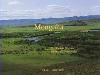
IMAR and Mongolia Metadata Progress. Dr. Yichun Xie Dr. William Welsh Zhangbao Ma Xining Yang. 1. Inner Mongolia RS Metadata. 2. Mongolia RS Metadata and sites. 4. Next task. 3. Vector Data Metadata. Contents. 1. Inner Mongolia RS Metadata. 1. Inner Mongolia RS Metadata.

E N D
IMAR and Mongolia Metadata Progress Dr. Yichun Xie Dr. William Welsh Zhangbao Ma Xining Yang
1. Inner Mongolia RS Metadata 2. Mongolia RS Metadata and sites 4. Next task 3. Vector Data Metadata Contents
1. Inner Mongolia RS Metadata • 25% is threshold of cloud cover. • 2. USGS Earth Resources Observation and Science (EROS) Center provides scarcely RS imagery in Inner Mongolia and Mongolia between 1986 and 1999. • USGS EROS is not the sole archive and distributor of Landsat imagery. A number of international ground stations also collect and distribute Landsat data. http://landsat.usgs.gov/about_ground_stations.php • We can collect IMAR and Mongolia RS imagery metadata between 1986 and1999.
1. Inner Mongolia RS Metadata Statistics: available RS Imagery from April to September between 2000 and 2009 From this statistics result, we find out that the imagery of three sites in IMAR from 2000 to 2009 is complete and August and September in almost every year have useful imagery. We are going to suggest this time-series of August and September of every year.
2. Mongolia RS Metadata and sites RS Imagery Metadata of the 17 landsat WRS path-rows identified within Mongolia
2. Mongolia RS Metadata and sites RS Imagery Metadata of Mongolia statistics result
2. Mongolia RS Metadata and sites Suggested sites selection in Mongolia Meadow stepple: 126026 Typical stepple : 127028 , 126028 Desert stepple : 131030
2. Mongolia RS Metadata and sites Statistics: available RS Imagery from April to September between 2000 and 2009 We are going to suggest this time-series of August of every year.
3. Vector Data Metadata http://igre.emich.edu
1.Confirm the availability of sites selection in Mongolia by processing RS imagery and field survey 2. Continue to collect IMAR and Mongolia RS imagery metadata between 1986 and 1999 3.Compile GIS data of IMAR and Mongolia 4.Compile county-level census data and village-level data of IMAR and Mongolia 4. Next task
Discussion and Suggestion Thank You ! http://igre.emich.edu