Download
1 / 19
190 likes | 450 Views
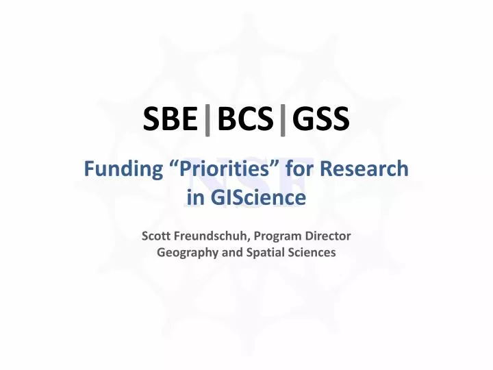
SBE | BCS | GSS. NSF. Funding “Priorities” for Research in GIScience Scott Freundschuh , Program Director Geography and Spatial Sciences. SBE | BCS | GSS. NSF. Social, Behavioral & Economic Sciences (the directorate). Behavioral & Cognitive Sciences (the division).

E N D
SBE|BCS|GSS NSF Funding “Priorities” for Research in GIScience Scott Freundschuh, Program Director Geography and Spatial Sciences
SBE|BCS|GSS NSF Social, Behavioral & Economic Sciences (the directorate) Behavioral & Cognitive Sciences (the division) Geography & Spatial Sciences (the program) Where People Matter
Social, Behavioral, and Economic Sciences NSF Behavioral and Cognitive Sciences Social and Economic Sciences Science Resources Studies Geography and Spatial SciencesLinguistics Documenting Endangered Languages Physical Anthropology Cultural AnthropologyArchaeology and Archaeometry Social Psychology Perception, Action and Cognition Development and Learning Sciences Cognitive Neuroscience Sociology Economics Decision, Risk, and Mgmt Science Methodology, Measurement, and Statistics Innovation and Organizational Change Political Science Law and Social Science Science and Technology Studies Societal Dimensions of Engineering, Science and Technology
grids virtual resolution data vs knowledge spatial social problems integrated multiple scales distributed relevance spatial analysis multidisciplinary complexity incentive dispersion NSF Why should NSF invest the taxpayer’s money on YOUR research? information integrating data sources innovation visualization human health national databases education infrastructure collaboration leverage cyber solutions stakeholders interface seamless anthropology workforce development communication cloud computing easy
grids virtual resolution data vs knowledge spatial social problems integrated multiple scales distributed relevance spatial analysis multidisciplinary complexity incentive dispersion NSF Why should NSF invest the taxpayer’s money on YOUR research? information integrating data sources innovation visualization human health national databases education infrastructure collaboration leverage cyber solutions stakeholders interface seamless anthropology workforce development communication cloud computing easy
Geography & Spatial Sciences Strategic Plan (2008 through 2012) used to be Geography and Regional Science http://www.nsf.gov/sbe/bcs/grs/GSS_StrategicPlan_2008.pdf NSF The same decades that witnessed rapid growth in geography have seen the establishment and enhancement of other spatial sciences -- fields that also have strong spatial orientations. Geographic information science (the science that considers fundamental questions associated with the development and use of geographic information systems and related technologies), spatial analysis(the science that develops formal techniques to analyze the topological, geometric, or geographic properties of data), and spatial cognition and behaviorhave joined regional science as interdisciplinary fields that are closely aligned with geography. A diagram appended to the end of this plan shows a schematic view of how geography and other spatial sciences relate to each other and to many other fields.
Geography & Spatial Sciences Strategic Plan NSF
Geography & Spatial Sciences Strategic Plan NSF
Behavioral & Cognitive Sciences “Dear Colleague Letter” IntegratingHuman and Social Dynamics (HSD) Goals into Core SBE Programs NSF Complexity Science Large-scale Interdisciplinary Research Infrastructure
Complexity Science http://www.nsf.gov/pubs/2009/nsf09019/nsf09019.jsp Encourages work on: Complex systems incorporating analyses of the interaction of simpler systems to explain observed complexity; The dynamics of complex systems, for example “tipping points,” where many things change dramatically at one time, and “emergent phenomena,” such as phase transitions in which complex phenomena emerge despite being underdetermined by ambient conditioning factors. CAREER Award: Formalizing and Resolving Computational Intensity of Spatial Analysis to Establish a Cyber-GIS Framework (S. Wang) Regular Award: Contextual Influences on the Category Construction of Geographic Scale Movement Patterns (Klippel) NSF
Infrastructure http://www.nsf.gov/pubs/2009/nsf09019/nsf09019.jsp Encourage proposals for infrastructure development to our programs. This includes but is not limited to cyberinfrastructure, instrumentation, shared data bases, repositories, consortia, etc. SBE will consider both free-standing proposals for infrastructure and requests for research resources not typically available within the context of SBE research proposals. Collaborative Research Award: A GIScience Approach for Assessing the Quality, Potential Applications, and Impact of Volunteered Geographic Information (Goodchild, Elwood and Sui) Collaborative Research Award: Holocaust Historical GIS (Giordano and Knowles) NSF
Behavioral & Cognitive Sciences “Dear Colleague Letter” Creating New Cyber-enabled Data on Innovation in Organizations NSF http://www.nsf.gov/publications/pub_summ.jsp?ods_key=nsf09036 To inform the future development of a data infrastructure for the study of innovation within and across organizations. Meaning…
Behavioral & Cognitive Sciences Creating New Cyber-enabled Data on Innovation in Organizations (cont.) NSF Research of interest to these programs can range from the innovative application of existing technologies through the creation of new approaches, and possible combinations that could create a transformative, interdisciplinary research agenda. Regular Award: Participatory Interaction Modeling of Online Geographic Decision Making (Nyerges and Aguirre)
NSF Wide Initiative Cyber-enabled Discovery and Innovation (CDI) NSF http://www.nsf.gov/crssprgm/cdi/ …this initiative has been designed to yield revolutionary science and engineering research outcomes made possible by innovations and advances in computational thinking. Meaning…
NSF Wide Initiative Cyber-enabled Discovery and Innovation (CDI) (cont.) • From Data to Knowledge:enhancing human cognition and generating new knowledge from a wealth of heterogeneous digital data • Understanding Complexity in Natural, Built, and Social Systems:deriving fundamental insights on systems comprising multiple interacting elements; • Building Virtual Organizations:enhancing discovery and innovation by bringing people and resources together across institutional, geographical and cultural boundaries. NSF
Other Recent Funding from GSS|BCS|SBE in GIScience Collaborative Research: Spatial Analytical Framework for Examining Community Risk Issues over Space and Time (Grubesic and Murray) Linking Local Knowledge and Local Institutions for the Study of Adaptive Capacity to Climate Change: Participatory GIS in Northern Tanzania (Smucker, Olson, Wangui, Munishi and Weiner) RUI: Using GIS to Integrate the NOAA HYSPLIT Model with Surface-Based Air Quality and Mercury Deposition Data (Snow, Livingston and Weiss) Development and Assessment of Self-Assessed Scales for Everyday Environmental Knowledge (SEEK) (Nuernberger, Goodchild and Montello) Integration of Spatial and Social Network Analysis in Vaccine Trials (Emch) And… NSF
More Recent Funding from GSS|BCS|SBE in GIScience The Geometry of Spatial Knowledge for Navigation (Warren) Collaborative Research: Models for Dynamic Discrete Response Data with Spatial Autocorrelation: Specification and Estimation (Kockelman and X. Wang) Collaborative Research: Improving Small Area Population Estimation with High-Resolution Remote Sensing (Wu, Day and L. Wang) A Geospatial Semantic Web Framework for Feature-Level Data Search, Access, Retrieval, Integration and Visualization: A Case of Transportation Network Data (Peng) Advancing Land-Use and Land-Cover Analysis by Integrating Optical and Polarimetric Radar Platforms (Moran) NSF
Who to talk to: In Geography and Spatial Sciences (GSS) Scott Freundschuh, sfreunds@nsf.gov, 703.292.4995 Tom Baerwald, tbaerwal@nsf.gov, 703.292.7301 Ezekiel Kalipeni, ekalipen@nsf.gov, 703.292.8457 In Methodology, Measurement and Statistics (MMS) Cheryl Eavey, ceavey@nsf.gov, 703.292.7269 NSF
NSF thanks for your time