Download
1 / 5
50 likes | 233 Views
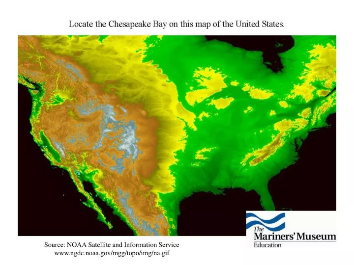
Source: NOAA Satellite and Information Service www.ngdc.noaa.gov/mgg/topo/img/na.gif. Name the states located within the Chesapeake Bay Watershed. While not a state, the entire area of this district is located within the Chesapeake Bay Watershed. What is it?.

E N D
Source: NOAA Satellite and Information Service www.ngdc.noaa.gov/mgg/topo/img/na.gif
Name the states located within the Chesapeake Bay Watershed. While not a state, the entire area of this district is located within the Chesapeake Bay Watershed. What is it?
Identify the primary rivers flowing into the Chesapeake Bay. James River Potomac River Rappahannock River Susquehanna River York River
Identify the following cities located along the Chesapeake Bay. VIRGINIA CITIES: Hampton Fredericksburg Norfolk Richmond MARYLAND CITIES: Annapolis Baltimore Chrisfield Havre de Grace Salisbury OTHER CITIES: Washington D.C. Your hometown