Download
1 / 8
80 likes | 81 Views
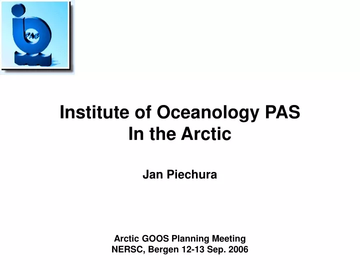
This document provides a summary of the planning meeting for the Arctic GOOS project held by the Institute of Oceanology in Bergen in 2006. It includes information on the stations, measurements, and some results collected during the project, focusing on the Arctic region.

E N D
Institute of Oceanology PAS In the Arctic Jan Piechura Arctic GOOS Planning Meeting NERSC, Bergen 12-13 Sep. 2006
IOPAS STATIONS GRID • Measurements • At High Seas and Shelf: • Standard meteo, aerosols • CTD, ADCP (VMADCP and LADCP) • Solar radiation, light day attenuation • Organic carbon, organic matter • Primary production • Plankton: phyto, zoo • Birds count • At Svalbard Fiords (additionaly): • High resolution CTD and ADCP • Suspended matter sedimentation • Plankton: phyto, zoo, bentos • Gas bubbles in the water ArcticGOOS, Bergen, 2006
STATIONS PLANNED IN DAMOCLES IO PAS ArcticGOOS, Bergen, 2006
SOME RESULTS June- July 2005ADCP measured currents at 100 m.Geostrophic currentsGeostrophic flow Kinetic Energy (color scale) • Two KE maxima (core, western branch);Convergence of two streams at ~78º N;Recirculation at ~78º and ~79ºLarge anticyclonic eddy at ~73º 30’ Meandering of the western branch ArcticGOOS, Bergen, 2006
EXAMPLE: PATHWAYS OF ATLANTIC WATER - STRUCTURE VERTICALLYINTEGRATED TRANSPORTS OF ATLANTIC WATER ACROSS SECTIONS Summer 2005 • TWO AW TRANSPORT MAXIMA (CORE, WESTERN BRANCH); • SOUTHWARD FLOW REGION BETWEEN BRANCHES; • CONVERGENCE OF TWO STREAMS AT ~78º N; • DIVERGENCE OF STREAMS AT ~79º N; • THE EASTERN BRANCH (CORE OF WSC) INFLOWS INTO THE ARCTIC OCEAN,THE WESTERN ONE MOSTLY RECIRCULATES ArcticGOOS, Bergen, 2006
EXAMPLE : PROPERTIES OF ATLANTIC WATER - VARIABILITY AW LAYER HEATR CONTENT AND BAROCLINIC CURRENTS ANOMALIES FROM MEAN 2000-2005 • 2003 NEGATIVE AW HEAT CONTENT ANOMALY • 2004 – HIGHER HEAT CONTENT • 2005 THE HIGHEST HEAT CONTENT, LARGE HEAT ANOMALIES CARRIED BY THE MESOSCALE EDDIES IN THE WESTERN BRANCH • POSITIVE HEAT ANOMALIES CARRIED BY THE ANICYCLONIC EDDIES ArcticGOOS, Bergen, 2006
EXAMPLE : TEMPERATURE AT 100m DEPTH 2001 2002 2003 2004 2005 2006
Variability of mean temperature, salinity and heat transport of Atlantic Water at Latitude 76o30'N ArcticGOOS, Bergen, 2006