Download

1 / 28
280 likes | 290 Views
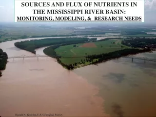
Subsurface distribution of produced-water salts at U.S. Geological Survey OSPER Site “B”, Osage County, Oklahoma. The 13th International Petroleum Environmental Conference San Antonio, TX October 17-20, 2006. James K. Otton and Robert A. Zielinski U.S. Geological Survey. Skiatook Lake.

E N D
Subsurface distribution of produced-water salts at U.S. Geological Survey OSPER Site “B”, Osage County, Oklahoma The 13th International Petroleum Environmental ConferenceSan Antonio, TXOctober 17-20, 2006 James K. Otton and Robert A. Zielinski U.S. Geological Survey
Skiatook Lake “B” site
USGS began investigations of OSPER sites “A” and “B” in February of 2001 with site topographic and geologic mapping. • Several sessions of drilling have occurred at both sites with 38 holes ranging in depth from 2-51 feet drilled at the “B” site. • Extensive geologic, geochemical, geophysical and biologic investigations of site impacts due to contaminants (saline produced water and associated hydrocarbons) in soils, bedrock, surface water, and ground water have occurred.
Tethered balloon photo- B site salt scars Courtesy of EPA
Limits of top-down saline shale Cross-section- modified from Jim Thordsen, USGS
Limits of top-down saline shale Cross-section- modified from Jim Thordsen, USGS
Conclusions • Bedrock weathering is thickest on the hillslopes. This may be in part facilitated by sandstone layers, but it may also represent removal of weathered rock by stream erosion. • Weathered shale can become salt saturated with time from the top down. The presence of sandstone layers also facilitates penetration of salt. • Where fractured shale and permeable layers (permeable sandstone or fractured sandstone) occur, saline waters can penetrate considerably deeper.