Download
1 / 25
250 likes | 337 Views
The Southwest Regional Gap Analysis Project: A Database Model for Regional Landscape Assessment, Resource Planning, and Vulnerability Analysis. W.G. Kepner, P. Comer, D. Osborne, D. Semmens, and K. Gergely US-IALE 2004, SW ReGAP Special Session 31 March 2004.

E N D
The Southwest Regional Gap Analysis Project: A Database Model for Regional Landscape Assessment, Resource Planning, and Vulnerability Analysis W.G. Kepner, P. Comer, D. Osborne, D. Semmens, and K. Gergely US-IALE 2004, SW ReGAP Special Session 31 March 2004
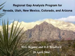
Southwest Regional GAP Project Arizona, Colorado, Nevada, New Mexico, and Utah US-IALE 2004, Las Vegas, Nevada: Transdisciplinary Challenges in Landscape Ecology
National Forest System Lands • Regions • Stations • National • District/Forest
Fire Regime 1 - 0-35 year frequency and low to mixed severity 2 - 0-35 year frequency and high severity 3 - 35-100 + year frequency and mixed severity 4 - 35-100 + year frequency and high severity 5 - 200 + year frequency and high severity Non Fuels BLM Field Office Boundary
Alternative Futures • Planning for the future is a complicated and uncertain process. • Futures assessment requires input from stakeholders knowledgeable about policies in a region. • Possible to investigate several “futures” or points of view at one time.
USE MULTIPLE ASSUMPTIONS for1) ECOLOGICAL REPRESENATATION and2) SOCIO-ECONOMIC TRADEOFF TO GENERATE ALTERNATIVE SCENARIOS
Grid of 750 he spatial analysis units Spatial Optimization Algorithm Land Use Compatibility Rare Species Occurrence Spatial Optimization Meeting Multi-Criteria Objectives Ecoregion and watersheds Migratory Species Habitat Value Freshwater Ecosystems (headwater reaches) Expert Review and Refinement Derived from Gap Land Cover
Principle Effects of Land Cover on Watershed Response Precipitation Evapotranspiration Interception Runoff Volume Land Peak Flow cover Sediment Yield Water Quality Infiltration Groundwater
KINEROS Outputs SWAT Outputs Channel Infiltration (m3/km) Precipitation (mm) Plane Infiltration (mm) ET (mm) Runoff (mm or m3) Percolation (mm) Sediment yield (kg) Surface runoff (mm) Peak flow (m3/s or mm/hr) Transmission loss (mm) Channel Scour (mm) Water yield (mm) Sediment discharge (kg/s) Sediment yield (t/ha) AGWA Inputs and Outputs Watershed Discretization (model elements) Intersect model elements with + Digital Elevation Model (DEM) Soil Land Cover Rain Run model and import results Results
AGWA Inputs Land Cover Soils DEM - Elevation
Future? Other Regional GAP projects?