Download
1 / 4
0 likes | 8 Views
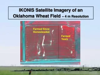
Conducting soil resistivity tests, our Bhoojal Survey & Recharging method assesses groundwater conductivity, aiding in sustainable water management and conservation efforts.

E N D
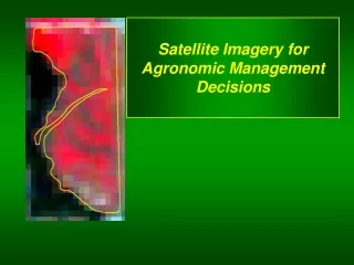
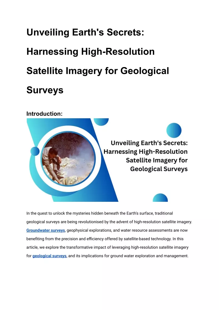
Unveiling Earth's Secrets: Harnessing High-Resolution Satellite Imagery for Geological Surveys Introduction: In the quest to unlock the mysteries hidden beneath the Earth's surface, traditional geological surveys are being revolutionised by the advent of high-resolution satellite imagery. Groundwater surveys, geophysical explorations, and water resource assessments are now benefiting from the precision and efficiency offered by satellite-based technology. In this article, we explore the transformative impact of leveraging high-resolution satellite imagery for geological surveys, and its implications for ground water exploration and management.
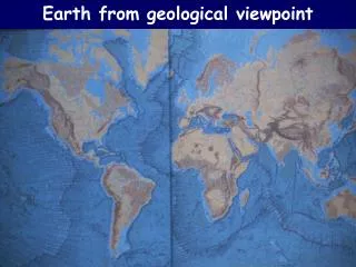
Unravelling the Earth's Layers: The Role of Geological Surveys Geological surveys are fundamental in understanding the composition, structure, and dynamics of the Earth's subsurface. Traditionally conducted through physical exploration and geophysical measurements, these surveys provide invaluable insights into geological formations, mineral resources, and water reservoirs. Enter High-Resolution Satellite Imagery: Enhancing Survey Capabilities The emergence of high-resolution satellite imagery has revolutionised geological surveys by offering a bird's-eye view of the Earth's surface with unprecedented detail and accuracy. These satellite images, captured from space-based platforms equipped with advanced sensors, provide valuable data for mapping geological features, identifying potential water sources, and assessing terrain characteristics. Applications in Groundwater Surveying and Exploration Mapping Aquifer Structures: High-resolution satellite imagery enables the identification and mapping of aquifer structures, facilitating ground water surveying and exploration. By analysing surface features and geological formations, groundwater surveyors can delineate potential groundwater reservoirs and assess their suitability for extraction. Monitoring Water Resources: Satellite imagery allows for the continuous monitoring of water resources, including changes in groundwater levels, surface water bodies, and land use patterns. This real-time data is invaluable for water resource management, drought monitoring, and environmental conservation efforts. Geophysical Insights from Space: The Power of Remote Sensing Geophysical surveys, which involve measuring variations in the Earth's physical properties, are enhanced through remote sensing techniques enabled by high-resolution satellite imagery. Satellite-based sensors can detect subtle variations in gravity, magnetic fields, and
electromagnetic radiation, providing valuable insights into subsurface structures and geological anomalies. Conclusion: In conclusion, the integration of high-resolution satellite imagery into geological surveys represents a paradigm shift in the field of earth sciences. From ground water surveying to geophysical exploration, satellite-based technology offers unparalleled capabilities for mapping, monitoring, and understanding the Earth's complex systems. As we continue to unlock the potential of space-based platforms, the future of geological surveys holds boundless possibilities for uncovering the secrets of our planet's subsurface. How Bhoojal Survey & Recharging can help you with ground water survey in India: Bhoojal Survey & Recharging offers state-of-the-art ground water surveying services in India, leveraging advanced technologies including high-resolution satellite imagery. With expertise in geological mapping, aquifer characterization, and water resource assessment, Bhoojal Survey & Recharging provides comprehensive solutions for ground water exploration and management, ensuring sustainable utilisation of this precious resource. FAQs: How does high-resolution satellite imagery improve ground water surveying? High-resolution satellite imagery enhances ground water surveying by providing detailed maps of geological formations, aquifer structures, and surface water bodies, aiding in the identification and assessment of potential ground water reservoirs. What are the benefits of using satellite-based technology for geophysical surveys?
Satellite-based technology offers several benefits for geophysical surveys, including wide area coverage, remote accessibility to inaccessible regions, and the ability to detect subtle variations in the Earth's physical properties, aiding in the identification of geological anomalies and subsurface structures.