Download
1 / 21
210 likes | 338 Views
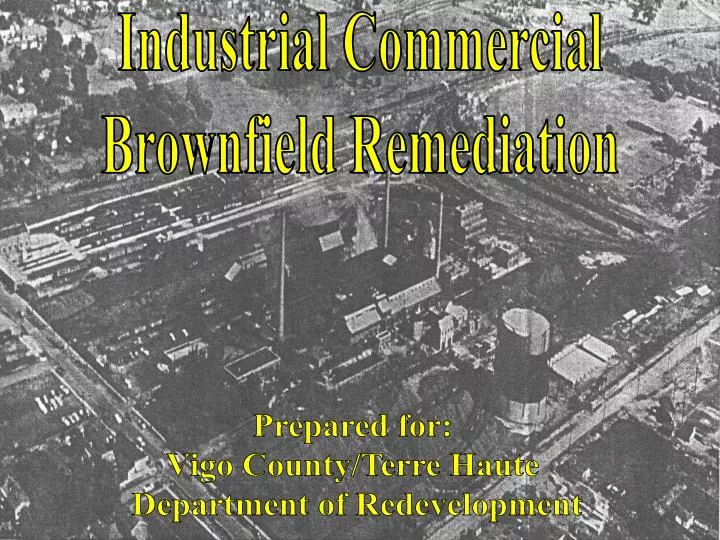
Industrial Commercial Brownfield Remediation. Prepared for: Vigo County/Terre Haute Department of Redevelopment. Laura Hemming – Project Manager Jan Dodd – Project Engineer Ty Gremaux – Report Editor/CAD Tech. Cory Howell – Project Engineer. Project Location.

E N D
Industrial Commercial Brownfield Remediation Prepared for: Vigo County/Terre Haute Department of Redevelopment
Laura Hemming – Project Manager Jan Dodd – Project Engineer Ty Gremaux – Report Editor/CAD Tech. Cory Howell – Project Engineer
Project Location 13th and Hulman Streets Terre Haute, IN
History of Property • Opened in 1916 as Indiana Coke and Gas Company • Closed in 1988 • Known contaminants include: benzene, toluene, ethylbenzene, xylene, and polyaromatic hydrocarbons January 1940
Design Requirements • Brownfield considerations • Environmental remediation • Commercial and industrial use • Hulman and 13th Street improvements • Railroad access to site • Location of detention pond
Progress to Date • Development Envelope • Topographic Survey • Low Impact Development (LID) • Codes and Regulations • Subsurface Conditions • Begin Phase II Review Int. of 13th Street and Lockport Road September 2004
Development Envelope • Availability and location of utilities • Floodplains, wetlands and underground mines • Right-of-way • Zoning restrictions • Soil contamination Holey Moley 800-382-5544
Topographic Survey • Rough topographic survey completed • Obtained complete survey performed by American Consulting Inc. • Compared two surveys to ensure accuracy
Low Impact Development • Bioretention considerations • Vegetated swales • Pervious pavements • Cisterns • Cost analysis
Codes & Regulations • Risk Integrated System of Closure (RISC) document • Federal contamination guidelines for ground water • Design Standards and Specifications Terre Haute and Indiana Department of Transportation
Subsurface Conditions • Preliminary geological investigation • Compared with soil borings from Trinity Environmental Group and ATC investigations • Limitations for development Intersection of 13th and Hulman Streets September 2004
Future Direction • Finish Phase II review & GIS mapping • IDEM response letter & proposed additional testing • Remediation plans • Potential development scenarios
Phase II Review & GIS Mapping • Soil borings and analytical testing • Location of contaminants • Contamination density mapping (GIS) • Brownfield research • Federal, state, and local development requirements • Grant availability
IDEM Response Letter & Proposed Additional Testing • Inadequacies of initial testing • What tests need to be conducted again? • What tests have never completed that are needed? • How much extra will this cost?
Remediation Plans • Specific areas or entire site • Closure levels • Worst-case scenario • Plan based on current contaminant knowledge • Cost analysis of two options
Phase II Potential Development Scenarios • Site layout • Phasing of project • Roadway design Phase I Phase III Phase IV