Download
1 / 12
120 likes | 271 Views
FASST Fast All-season Soil STrength. S. Frankenstein ERDC – CRREL. Physics Based Modeling Approach. Wx / Atmospheric (Dynamic State). Terrain Complex. Terrain Features. +. VITD, VMAP, Measured. AFWA – MM5/WRF Measured – similar to Army & AF battlefield obs. State-of-the-Ground

E N D
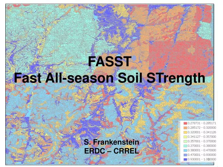
FASSTFast All-season Soil STrength S. Frankenstein ERDC – CRREL
Physics Based Modeling Approach Wx / Atmospheric (Dynamic State) Terrain Complex Terrain Features + VITD, VMAP, Measured AFWA – MM5/WRF Measured – similar to Army & AF battlefield obs State-of-the-Ground (FASST – Fast All-season Soil STrength)
FASST Water & Energy Balance Precipitation Infrared, IR High (canopy) vegetation model Solar Low vegetation model Sensible Heat Emitted IR Latent Heat Evap/ Cond Snow/Ice Melt Run-off Ponding Root uptake Change of State Infiltration Conduction Layer 1 Convection Suction Run-off Layer 2 Gravity Flow Layer N Deep Earth
A B Read in site data, initial conditions Calculate Canopy temperatures; adjust weather Calculate snow depth Have measured Snow depth Initialize soil profile Calculate Low veg temperature; soil moisture, temperature, vapor and ice content Have measured surface soil temp Calculate soil strength Read in met data Update soil properties ii More met data Yes ii Calculate surface icing Calculate missing met data No Print results B A Model Flow
Inputs: • Meteorological Data (Dynamic) • WRF forecast at best resolution (AFWA) • Available Weather Observations → AF Combat Wx Team, Army MET upper air, Army tactical obs network • Initial Snow Depth & Density, Ice Thickness • Soil Data (Static) • Number of Layers, Layer Thickness & Type • Initial Moisture & Temperature Profile • Layer material properties (density, porosity,conductivities…) • Vegetation Data (Static) • Type – High and/or Low (classifications based on BATS) • Density, Height • Site Specifics (Static) • Latitude, Longitude, Elevation, Slope, Aspect • Time offset from GMT
Outputs: • Soil Temperature • Soil Moisture – volumetric & gravimetric • Ice Content • Vapor Content • Freeze/Thaw Depth • Surface State (Frozen/Thawed) • Snow Depth & Density • Surface Ice Thickness • Vegetation Temperatures • Surface Energy Fluxes • Mobility specific • Surface Slippery Factor (Wet/Dry/Snow/Ice) • Soil Strength (CI,RCI and CBR)
Hill 160 740 720 730 780 120 740 760 N-S (m) 770 730 750 720 780 80 770 740 760 750 730 740 730 40 720 720 40 80 120 160 200 240 E-W (m) Down-stream Feeds and Uses State-of-the-Ground Sensor Performance Product (RSPd, SPEBE) AER, ARL, C/JMTK, 10th Mountain, BTRA, BTRA-BC IR Target-Scene Simulation (IRTSS), USAF Air Maneuver Battle Lab, BTRA-BC, TAWS Mobility Planning/ Route Generation (NRMM/STDMOB) DTSS, DCGS-A, GSL, TEC, BTRA, C/JMTK, State DOT Dynamic State NASA, CSU, NPS, SMEX, JRAC, OLS, C/JMTK, CHL, DTSS, NCAR, NOAA, DCGS-A, BTRA, BTRA-BC, JIEDDO, LIS, IWEDA, TAWS