Download
1 / 8
120 likes | 571 Views
Climate of Bangladesh and Observing facilities of Bangladesh Meteorological Department. MD. Akram Hossain Director Bangladesh Meteorological Department (BMD) Agargaon, Dhaka-1207 email: directorbmd@yahoo.com. GEOGRAPHY OF BANGLADESH.

E N D
Climate of Bangladesh and Observing facilities of Bangladesh Meteorological Department MD. Akram Hossain Director Bangladesh Meteorological Department (BMD) Agargaon, Dhaka-1207 email: directorbmd@yahoo.com
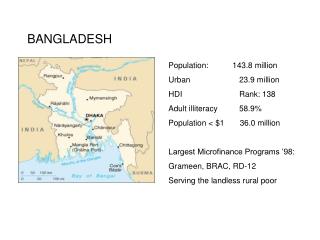
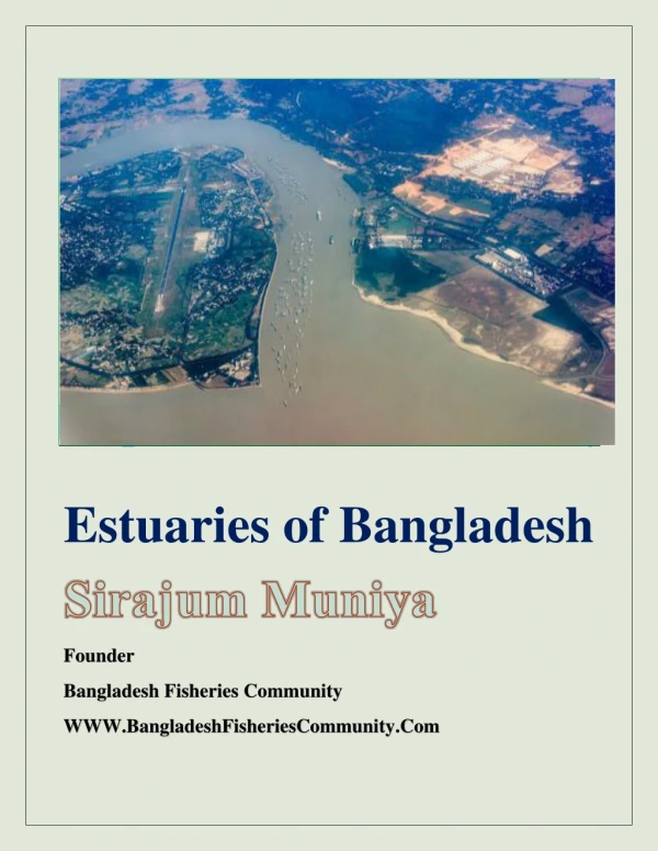
GEOGRAPHY OF BANGLADESH Bangladesh is a Southeast Asian country of area about 1,48,875 sq. Km.extending from 200 45' to 260 40'N and from 880 05' to 920 40'E on the global map. Most part of this country is a plain low land, with the hills in the south-eastern, and north-eastern parts. The vast Bay of Bengal lies to the south and great Himallayas in the north of the country. It is a land of rivers consisting of 230 of which 57 rivers originate from outside. The major rivers are the Meghna, the Padma and the Brahmaputra It is mentioned that 92% rainfall of the upper catchment area and 8% of Bangladesh rainfall contribute to flood.
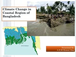
Topography of Bangladesh • Land elevation of 50% of the country is within 5 m of MSL • About 68% of the country is vulnerable to flood • 20-25% of the area is inundated during normal flood
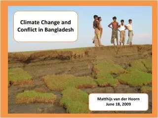
Introduction • Bangladesh is the most disaster prone area in the world. • Most of these disasters are meteorological and hydrological in nature. Such as- • Cyclone & associated Storm Surge • Nor’westers/Tornadoes • Drought • Floods • River Erosion • Heat Waves and Cold Waves • Earthquakes • Land slide
Flood types in Bangladesh Types of flood 1 River Flood 2 Flash Flood 3 Rain-fed Flood 4 Tidal Flood due to Storm Surges
Historical Flood Extents from 1954 to 2001 in Bangladesh 61% and 68% area inundated by floods of 1988 &1998
Observational Facilities of BMD • 35 First Class Surface Observatories • 10 Pilot Balloon Observatories • 3 Rawinsonde Observatories ( One is in functional) • 12 Agromet Observatories • 4 Radar Stations at Dhaka, Rangpur, Cox's Bazar and Khepupara • Satellite Ground Receiving Station of GMS, NOAA and INSAT • World Area Forecasts Charts( WAFS) from the World Area Forecasting Center, Braknell London. • Receiving System of Satellite Distribution (SADIS) • Two high-gust anemometers in operation over the country.
Bangladesh drains the combined catchment areas of the Ganges, Brahmaputra, and Meghna rivers an area equivalent to 1.75 million square kilometers. BUET