Download
1 / 19
190 likes | 194 Views
This article discusses NASA's Land Information System (LIS) as a testbed for agency partners and investigators. It covers the LIS background, architecture and design, hydrologic modeling support, examples of NLDAS drought, data assimilation, and soil parameter estimation, as well as future enhancements.

E N D
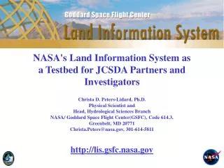
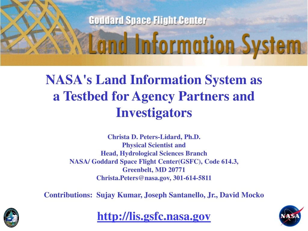
NASA's Land Information System as a Testbed for Agency Partners and Investigators Christa D. Peters-Lidard, Ph.D. Physical Scientist and Head, Hydrological Sciences Branch NASA/ Goddard Space Flight Center(GSFC), Code 614.3, Greenbelt, MD 20771 Christa.Peters@nasa.gov, 301-614-5811 Contributions: Sujay Kumar, Joseph Santanello, Jr., David Mocko http://lis.gsfc.nasa.gov
Outline • LIS Background • LIS Architecture &Design • Hydrologic modeling support • NLDAS Drought Example • Data Assimilation Example • Soil Parameter Estimation Example • LIS/WRF Coupled Modeling Example • Future enhancements
LIS Heritage: NLDAS and GLDAS North American LDAS 1/8 Degree Resolution Mitchell et al., JGR, 2004 Global LDAS 1/4 Degree Resolution Rodell et al., BAMS, 2004 Land Information System (http://lis.gsfc.nasa.gov) Multi-Resolution Ensemble LDAS Software Framework Kumar et al., EMS, 2006
LIS Motivation: Exploit moderate (e.g., MODIS) and high-res (Landsat) data 25km 5km 1km
Atmospheric Models (WRF/GCE/ GFS/GEOS) Estuary /Coastal /Ocean Models Land Surface Models (LIS) LIS Vision: Land Component for Earth System Models
LSM Initial Conditions LIS Running Modes Uncoupled or Analysis Mode Coupled or Forecast Mode Station Data WRF/ GFS/ GCE Global, Regional Forecasts and (Re-)Analyses ESMF Land Sfc Models (Noah, Catchment, CLM, VIC, HYSSiB) Satellite Products Kumar, S. V., C. D. Peters-Lidard, J. L. Eastman and W.-K. Tao, 2008. An integrated high-resolution hydrometeorological modeling testbed using LIS and WRF. Environmental Modelling & Software, Vol. 23, 169-181.
LIS Uncoupled/Analysis Mode Inputs Physics Outputs Applications Topography, Soils Land Surface Models Soil Moisture & Temperature Weather/ Climate Water Resources Agriculture Drought Military Ops Natural Hazards Land Cover, Vegetation Properties Evaporation Sensible Heat Flux Meteorological Forecasts, Analyses, and/or Observations Runoff Data Assimilation Modules Snow Soil Moisture Temperature Snowpack Properties
LIS Architecture Kumar, S. V., C. D. Peters-Lidard, Y. Tian, P. R. Houser, J. Geiger, S. Olden, L. Lighty, J. L. Eastman, B. Doty, P. Dirmeyer, J. Adams, K. Mitchell, E. F. Wood and J. Sheffield, 2006. Land Information System - An Interoperable Framework for High Resolution Land Surface Modeling. Environmental Modelling & Software, Vol. 21, 1402-1415.
LIS Design • Earth System Modeling Framework (ESMF) to interoperate with other Earth system model components (e.g., the Weather Research and Forecasting Model, WRF) • ESMF tools are also used to enable interoperability within the LIS components (e.g., Data Assimilation, Parameter Estimation, Land Surface Models) • I/O standards • ALMA (Assistance for Land Modeling Activities) • CF (Climate and Forecasting) • I/O Formats Supported • GRIB, NetCDF, HDF-EOS, Binary, Ascii
Hydrologic Modeling Support • NLDAS Drought Example • Data Assimilation Example • Soil Parameter Estimation Example • LIS/WRF Coupled Modeling Example
NLDAS Drought Monitor Example http://ldas.gsfc.nasa.gov/drought
LIS Data Assimilation Example GMAO Catchment model NCEP/AFWA Noah model Surface Soil Moisture Improvement • NASA/GMAO-developed capabilities for sequential data assimilation have been implemented in the NASA/HSB Land Information System (LIS) framework. • LIS is a comprehensive system that integrates the use of various land surface models, assimilation algorithms, observational sources for users at NASA, AFWA, NOAA, USDA and other agency investigators. • Capabilities have been demonstrated for assimilating soil moisture, snow and skin temperature observations. Root Zone Soil Moisture Improvement Figure 1: Soil Moisture Assimilation Open Loop No Bias Correction Temperature RMSE (K) With Bias Correction Figure 2: Skin Temperature Assimilation
LIS Data Assimilation Flexibility Kumar, Sujay V., Rolf H. Reichle, Christa D. Peters-Lidard, Randal D. Koster, Xiwu Zhan, Wade T. Crow, John B. Eylander, and Paul R. Houser, 2008: A Land Surface Data Assimilation Framework using the Land Information System: Description and Applications, In press, Advances in Water Resources, Special Issue on Remote Sensing. doi:10.1016/j.advwatres.2008.01.013.
LIS Soil Parameter Estimation Example LIS+SSURGO OBS LIS+PEST Peters-Lidard C. D., D. M. Mocko, M. Garcia, J. A. Santanello Jr., M. A. Tischler, M. S. Moran, Y. Wu (2008), Role of precipitation uncertainty in the estimation of hydrologic soil properties using remotely sensed soil moisture in a semiarid environment, Water Resour. Res., 44, W05S18, doi:10.1029/2007WR005884. Santanello, J.A., Jr., C. D. Peters-Lidard, M. Garcia, D. Mocko, M. Tischler, MS. Moran, and D.P. Thoma, 2007: Using Remotely-Sensed Estimates of Soil Moisture to Infer Soil Texture and Hydraulic Properties across a Semi-arid Watershed, Remote Sensing of Environment, 110(1), 79-97, DOI=http://dx.doi.org/10.1016/j.rse.2007.02.007.
LIS-WRF Coupled Example 2:0-10 cm initial soil moisture (%)(1200 UTC 6 May 2004) Eta soil moisture LIS soil moisture • Much more detail in LIS (as expected) • LIS drier, especially over N. FL & S. GA • LIS slightly more moist over Everglades Difference (LIS – Eta) LIS Substantially Drier 16
LIS-WRF Coupled Example 2: Sea Breeze Evolution Difference(1800 UTC 6 May to 0300 UTC 7 May) Case, Jonathan L., William L. Crosson, Sujay V. Kumar, William M. Lapenta, Christa D. Peters-Lidard, 2008. Impacts of High-Resolution Land Surface Initialization on Regional Sensible Weather Forecasts from the WRF Model. In press, Journal of Hydrometeorology. 17
LIS-WRF Coupled Example 2: Sea Breeze Evolution Difference(Meteogram plots at 40J and CTY) 18
LIS Integrates Observations, Models and Applications to Maximize Impact • Observations 2. Modeling and Data Assimilation 3. Applications