Download
1 / 26
260 likes | 433 Views
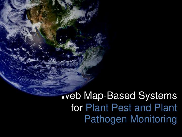
Web Map-Based Systems for Plant Pest and Plant Pathogen Monitoring. Center for Environmental Informatics Earth and Environmental Systems Institute Penn State University. Eight Years of Success Innovative interactive web applications Geospatially-oriented technology solutions

E N D
Web Map-Based Systems for Plant Pest and Plant Pathogen Monitoring
Center for Environmental Informatics Earth and Environmental Systems InstitutePenn State University
Eight Years of Success Innovative interactive web applications Geospatially-oriented technology solutions Orientation to environment and agriculture
Informatics Enable people and organizations to integrate, organize, visualize and share information Realize synergy and value from aggregated information Nurture the transformation of data information knowledge Promote improved decision making
PestWatch Observation Network Sweet Corn Initial Primary Focus Ten year record of data collection Catches from Pheromone or Blacklight traps Network Extended to Midwest in 2007; Over 600 observation locations
WheatScab Model Details Meteorological Inputs RTMA Grids (T, TD, RH) 5Km Grid +800 Individual Stations 666 FAA; 104 HPCN; 49 MAWN; 68 NDAWN; Nowcast, 24 and 48 Forecasts Public and Expert Sites
Web Mapping Components • • Project Definition • Functional (Stakeholder) Requirements • Concept Design • System Analysis and Design • Database Design/Develop • Web Interface Design • Software Needs • Server Processing Technologies • Client Display Platforms/Applications • Testing/User Feedback • Maintenance Support
A Typical Web Map-Based System PostgreSQL Web tool PostGIS Data entry Geoserver Existing GIS
Challenges Validation/Verification Sustainability Scale