Download
1 / 19
190 likes | 286 Views
Spatial Distribution of Pulsed Environmental Flows. GIS in Water Resources, 2011 Alison Wood. Environmental Flow Regime Flows to Keep Rivers Healthy. www.tceq.com. TCEQ’s Need Water Withdrawals Not Near Gages. Data Sources. TCEQ Rights Points. USGS Gages. RAPID Model Output.

E N D
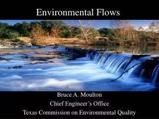
Spatial Distribution of Pulsed Environmental Flows GIS in Water Resources, 2011 Alison Wood
Environmental Flow RegimeFlows to Keep Rivers Healthy www.tceq.com
Data Sources TCEQ Rights Points USGS Gages RAPID Model Output
RAPID Modelcreated by Cédric David • Routing Application for Parallel computatIonof Discharge • Input: surface and groundwater flows • Output: flow and volume of water throughout river network • Output in netCDF format http://www.geo.utexas.edu/scientist/david/rapid.htm
Mapping RAPID OutputCreate a Table from Data http://www.geo.utexas.edu/scientist/david/files/RAPID_in_ArcGIS.pdf
Mapping RAPID OutputChoose a Time-Step http://www.geo.utexas.edu/scientist/david/files/RAPID_in_ArcGIS.pdf
Mapping RAPID OutputJoin Table to Flowline Layer http://www.geo.utexas.edu/scientist/david/files/RAPID_in_ArcGIS.pdf
USGS Gage Flow– HydrographMeasured Flow Over Time HydroExcel: http://his.cuahsi.org/hydroexcel.html
Next Steps:Collect Data, Compare, Correlate • RAPID hydrographs for all chosen reaches • USGS hydrographs for all chosen gages • Compare model output with observed data • Correlate reaches with gages that reflect flows