Download
1 / 11
120 likes | 526 Views
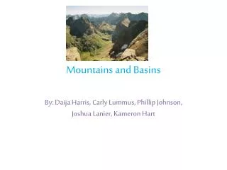
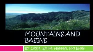
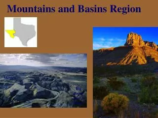
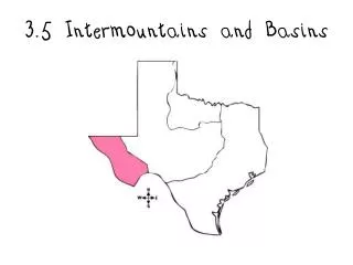
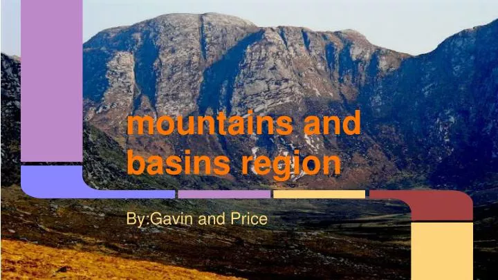
mountains and basins region. By:Gavin and Price. Region Map. Major Cities. The major cities in this regions : El Paso Pecos. Rivers (Pecos, Rio Grande. Wildlife. Climate (weather). - Driest part of the state -Receives less than 10 inches of rain per year -Large mountains. Facts.

E N D
mountains and basins region By:Gavin and Price
Major Cities The major cities in this regions : El Paso Pecos
Climate (weather) - Driest part of the state -Receives less than 10 inches of rain per year -Large mountains
Facts Driest part of state Trees grow only along a few stream Highest peak is Guadalupe peak
Trivia • What was the names of the rivers • Name one of the animals in this region • What is this region • What is one of the major cites in this region • How many inches of rain does this region get
History of Texas and this regions • It is the biggest state after Alaska • Guadalupe Mountains National Park is in Guadalupe Mountains of west and contains 3. Guadalupe Peak The highest point in Texas at 8,748 feet.
:`) The End :`} By, Gavin, and Price