Download
1 / 11
110 likes | 307 Views
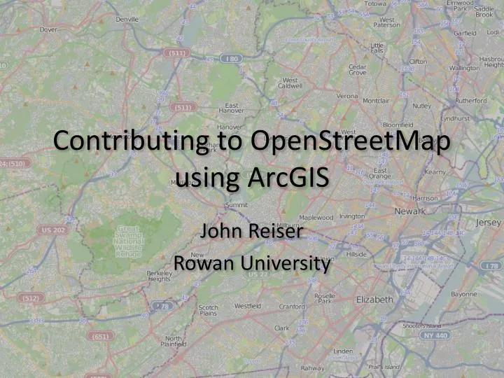
Contributing to OpenStreetMap using ArcGIS. John Reiser Rowan University. OpenStreetMap.

E N D
Contributing to OpenStreetMap using ArcGIS John Reiser Rowan University
OpenStreetMap “OpenStreetMap (OSM) follows a similar concept as Wikipedia does, but for maps and other geographic facts. People, like you and me, gather location data across the globe from a variety of sources such as recordings from GPS devices, from free satellite imagery or simply from knowing an area very well (for example, because they live there). This information then gets uploaded to OpenStreetMap's central database from where it can be further modified, corrected and enriched by anyone who notices missing facts or errors about the area.”
Why use OSM? Free, worldwide base map. Not just rendered tiles, but free data. Contribute data to the map, provided you are allowed to release the data. OSM is an available base map on ArcGIS.com. Can contribute using open source editing tools, Potlatch and JOSM.
OSM Data Primitives Special tools know how to handle OSM’s data. Nodes (points) exist as singular entities with their own attributes (specified as key=value pairs). Series of nodes can be strung together into ways, which can be open (lines) or closed (polygons). Ways can be grouped in relations, a special type to denote networks or multipart features. Nodes are not duplicated, akin to Coverages.
Exporting from ArcGIS Through a Python script, ArcGIS polygon & polyline features can be exported to the OSM format. The script can be run from ArcToolbox, and works with shapefiles and geodatabases. The OSM format records nodes, ways, and relations in an XML structure. The script-generated XML can be further edited with JOSM or uploaded to OSM.
Python Script • Script requires ArcGIS to run. • Groups features into topologically discrete sections. • Does not produce duplicate nodes. • Output saved as XML. • GPL licensed.
ArcGIS Editor for OSM • Recently released as an open source project by ESRI. • Allows for interactive retrieval and editing of OSM data. • Great tool for getting your feet wet. http://esriosmeditor.codeplex.com/
Contribute! I encourage you to contribute to OSM and use my script if you want to contribute a large amount of data. If you run into any issues, feel free to contact me and I can help. OSM is a data repository and a mapping community.
Thanks! Contact Info Download the Script http://users.rowan.edu/~reiser/osm/ Script and a preconfigured ArcToolbox available for download. Other scripts available for download. • John ReiserDepartment of GeographyRowan University856-256-4817reiser@rowan.eduhttp://gis.rowan.edu/http://njgeo.org/ • Twitter: johnjreiser & rowangeolab