Download
1 / 13
160 likes | 397 Views
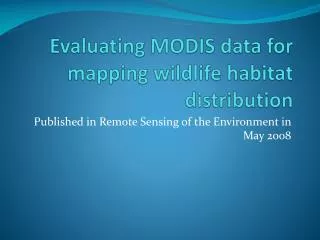
Evaluating MODIS data for mapping wildlife habitat distribution. Published in Remote Sensing of the Environment in May 2008. Conservation issues. Habitat fragmentation -The division of large habitat patches into many small patches -Increases isolation of animals within habitats

E N D
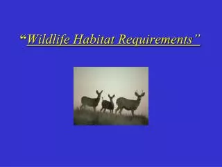
Evaluating MODIS data for mapping wildlife habitat distribution Published in Remote Sensing of the Environment in May 2008
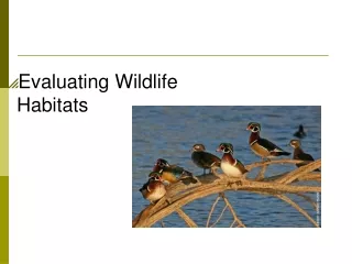
Conservation issues • Habitat fragmentation -The division of large habitat patches into many small patches -Increases isolation of animals within habitats -Decreases amount of interior habitat, increases edge habitat • Edge Effect -Edges create microclimates which are only suitable for certain types of wildlife. Many wildlife species are extremely vulnerable in these habitats. • Home Range -Many animals have a large home range within which they are constantly traveling to find the resources they need to survive. As habitats become increasingly fragmented, animals are unable to perform their livelihoods within these ranges.
Choosing which areas are most important for conservation requires extensive knowledge about the spatial distribution of the specific habitat type. Remote Sensing can be particularly useful for this if areas are difficult to get to. Giant Panda habitat in China is a prime example of this.
Habitat studies in the past have used data from specific sensors • LANDSAT TM multispectral scanner • Due to availability and relatively high spatial resolution (30 M/pixel)
This study compares two models using data from different satellite sensor systems to map the spatial distribution of Giant Panda habitat
First Model • Combines forest cover • derived from a digital land cover classification of Landsat TM imagery acquired in June, 2001 • With data acquired on elevation and slope patterns • derived from a digital elevation model obtained from topographic maps
Second Model • Based on the Ecological Niche Factor Analysis (ENFA) • Using MODIS to get time series composites of WDRVI (Wide Dynamic Range Vegetation Index) images • Time series with one week intervals in 2001
Problem with LANDSAT data • The application of supervised and unsupervised classification techniques to this data have not been able to detect the spectral signature of the bamboo understory layer. • Low temporal resolution fails to represent seasonal nature of the habitats
MODIS Data • Has been ignored in the past due to low spatial resolution • Is experimented with here in order to explore the benefits provided by high temporal resolution in relation to habitat mapping
Application of MODIS data 8-day surface reflectance data were used to calculate a new vegetation index WDRVI- Wide dynamic range vegetation index WDRVI=[(α+1)NDVI+(α−1)]/[(α−1)NDVI+(α+1)] Non-linearly related to NDVI
Results • On average, the broadleaf deciduous pixels with understory bamboo have 15.8% higher WDRVI values than those without understory bamboo • These areas are also significantly different at three time periods • Therefore, despite the poor spatial resolution of MODIS data, seasonal change in vegetation gives applicable info for distinguishing between suitable and non-suitable Giant Panda habitat.
Source: Vina, Bearer, H. Zhang and Z. Ouyang. Evaluating MODIS data for mapping wildlife distribution. Remote Sensing of Environment; 112, 2008.