Download
1 / 18
190 likes | 276 Views
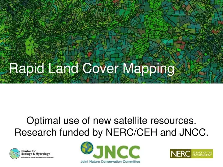
Optimal use of new satellite resources. Research funded by NERC/CEH and JNCC. Rapid Land Cover Mapping. Remote sensing: a key component of CEH’s integrated UK observing capability . UK Environmental Change Network . UK-Atmospheric Chemistry and Air Quality Monitoring Network, .

E N D
Optimal use of new satellite resources. Research funded by NERC/CEH and JNCC. Rapid Land Cover Mapping
Remote sensing: a key component of CEH’s integrated UK observing capability UK Environmental Change Network UK-Atmospheric Chemistry and Air Quality Monitoring Network, Carbon Catchments UK Upland waters Monitoring Network Cumbrian Lakes Monitoring Wetland Core Monitoring, Isle of May Long Term Study, Soil observatories Conwy Source to Sea COSMOS Soil Moisture Network UK Butterfly Monitoring Scheme, UK Lake Ecological Observatories Predatory Bird Monitoring Scheme Biological Records Centre Welsh Govt. Environmental Monitoring Countryside Survey UK Land Cover Map
National LCM – traditional recipe Ingredients: Prepared satellite images Spatial framework Schema Field-data A maximum likelihood classifier
LCM2007: <20,000 useable training and validation points Training and Validation: field campaign
A region of Norfolk, Suffolk: ~21,000 training polygons; > 1.25 million training pixels Training: History from 3 CEH LCMs
Machine Learning • WEKA toolkit from University of Waikato, NZ • Explored a range of Machine Learning algorithms: Decision Trees, Boosting, Support Vector Machines, Random Forest • Random Forest performed best
Key points • Land cover history produces a richer set of training information than conventional field campaigns and almost cost-free • Used with non-parametric classification techniques rapid, more accurate classifications • Stable training sites enable multiple classifications using the same training polygons (classify historical images). • Consistent training sites, classification methods, thematic descriptions, spatial structure supports change detection • Near real-time classification a sensible aspiration • Field observations still essential for product validation