Download
1 / 9
90 likes | 95 Views
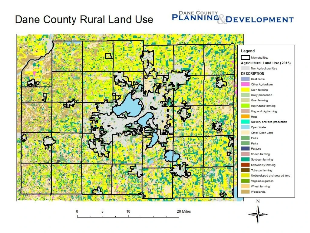
Dane County Farmland Preservation Plan Planning Areas. Farmland Preservation Areas Based on town plans Non-Farm Planning Areas Rural Development / Transitional (based on town plans) Urban Service Areas (as approved in Dane County Water Quality Plan ) Resource Protection Corridor Overlays

E N D
Dane County Farmland Preservation PlanPlanning Areas • Farmland Preservation Areas • Based on town plans • Non-Farm Planning Areas • Rural Development / Transitional (based on town plans) • Urban Service Areas (as approved in Dane County Water Quality Plan) • Resource Protection Corridor Overlays • Wetlands • Wetland and shoreland buffers (75’) • Floodplains • Slopes over 20% • Other areas identified in town plans
Dane County Farmland Preservation PlanPrograms to Preserve Agriculture • Farmland Preservation Zoning • Density Caps • Siting Criteria • Agricultural Enterprise Areas (AEA) • Purchase of Agricultural Conservation Easements (PACE) • Transfer of Development Rights (TDR) • Economic, Technical Assistance
Dane County Farmland Preservation PlanDensity Caps • Adopted in most town comprehensive plans • Also adopted by county board as part of Dane County Comprehensive Plan. • Sets limit on number of times a landowner can rezone and divide for non-farm use, based on acres owned as of a specified date. • Limits range by town: • 1 home per 35 acres (most common) • 1 home per 40 acres • 1 home per 75 acres • Sliding scale between 1:25, 1:17 & 1:14, based on nature of development (Town of Springdale only)
Dane County Farmland Preservation PlanSiting Criteria for Nonfarm Development • Based on criteria in most town comprehensive plans • Rezone minimum area necessary for nonfarm use • Avoid: • Wetlands, floodplains, slopes > 20% • Group I & II LESA soils
Dane County Farmland Preservation PlanPurchase of Agricultural Conservation Easements • Federal Farm and Ranchland Protection Program • State PACE grants • Funding eliminated in 2011 • Program authorization remains • Existing County Programs • Parks & Open Space Plan / County Conservation Fund • Land & Water Legacy Fund • Matching grants to local governments • Limited PACE / PDR (funding dependent) • Policy guidance for future PACE programs included in FPP • Local Programs • Town of Dunn • Town of Windsor
Dane County Farmland Preservation PlanTransfer of Development Rights • County ordinance adopted 2010 • Model town plan language • Program guidance included in Farmland Preservation Plan • Operational Programs • Town of Albion • Town of Berry (town zoning) • Town of Cottage Grove • Town of Cross Plains • Town of Dane • Town of Mazomanie • Town of Pleasant Springs • Town of Rutland • Town of Springfield (town zoning)