Download
1 / 17
170 likes | 318 Views
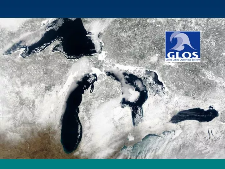
GLOS Basics. A U.S. non-profit Corporation Recipient of NOAA planning grants and Congressionally directed funding Membership to include federal, state, provincial agencies, academic institutions, commercial concerns and other non-profit corporations Principal focus areas:

E N D
GLOS Basics • A U.S. non-profit Corporation • Recipient of NOAA planning grants and Congressionally directed funding • Membership to include federal, state, provincial agencies, academic institutions, commercial concerns and other non-profit corporations • Principal focus areas: • identify needs for physical, chemical, biological and hydrologic observations; • coordinate U.S. data collection efforts; • integrate information to provide for enhanced discovery and access; and • advocate for necessary resources
Integrated Ocean Observing System Seven objectives of IOOS: • Facilitate safe and efficient maritime operations • Mitigate effects of natural hazards • Improve prediction of climate variability • Reduce public health risks • Improve national security • Sustain and restore living resources • Preserve and restore healthy ecosystems
Definitions Observations – The act of measuring or recording of an event, state, condition or phenomenon, with instruments and the notation of these facts such as individual measurements collected by single sensors or systems of multiple measurements from fixed stations, networks of measurement sites, airborne and satellite platforms and marine platforms. Monitoring – The systematic tracking of changes in conditions and progress toward meeting a management objective. Monitoring programs frequently require regular or ongoing observations of specific properties. Monitoring is a critical element in the design and implementation of all indicator programs.
Integrated Oceans Observing Systems • National System: • Satellite remote sensing • Reference, Sentinel Stations • Link to global module • Data standards • Exchange protocols • Regional Systems: • Land-based inputs • Regional Priorities • Greater resolution • More variables
Board of Directors • Dr. Alfred Beeton (Treasurer) • Dr. Jeffrey Boehm (Secretary) • Dr. Gerald Galloway (BG, Ret) • Mr. Mark Grazioli, P.E. • Mr. Philip Keillor • Dr. Gail Krantzberg • Dr. Frank Kudrna, P.E. (Vice Chair) • Mr. Dale Phenicie • Dr. Harvey Shear • Dr. Richard Stewart • Mr. Nelson Thomas • Mr. Bill Werick (Chair)
Great Lakes Observing System • Open Lakes Observations • Science Vessels • Interconnecting Waterways • Nearshore Observations • Atmospheric Monitoring • Remote Sensing • Modeling and Ecological Forecasting • Information Integration • Education and Outreach Subsystems:
Data Integration • Regional clearinghouse node • Servers, Bandwidth, Software • Distributed web services • Linkage to Great Lakes Information Network • Applications development • National DMAC interfacing Subsystems Components:
Education and Outreach • Curricula development • Web products • Distance education tools • Student / Teacher fellowships • Public education products • Program evaluations Subsystem Components:
Lake Michigan Observation Stations NDBC Buoys - Existing NDBC/GLERL C-MAN Existing Sites Proposed New NDBC Sites Proposed H-F Radar Sites Overlake Precipitation from WSR-88D
Great Lakes Near-Term Needs for New Operational Products • Operational SAR/scatterometer ice classifications • Operational scatterometer winds • Operational multi-sensor products of chlorophyll, DOC, SM and HAB detection
Coastal Change Analysis Program • Standardized, accessible inputs • Based on 30 meter Landsat imagery • Innovative, repeatable procedures • Accompanied by FGDC metadata • Consistent national coverage • Coastal stewards of the National Land Cover Database (NLCD) • Relevant, accurate products • 85% overall target accuracy LC products currently available in the Great Lakes: • Land cover circa 2001 • Land cover circa 1996 • Change data (1996 to 2001) • Percent impervious surface • Percent canopy surface