Download
1 / 10
100 likes | 107 Views
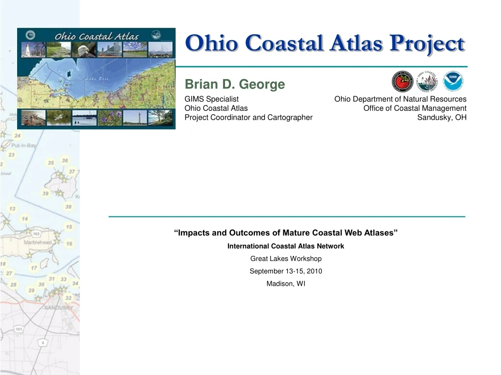
Brian D. George GIMS Specialist Ohio Coastal Atlas Project Coordinator and Cartographer. Ohio Department of Natural Resources Office of Coastal Management Sandusky, OH. Ohio Coastal Atlas Project. “Impacts and Outcomes of Mature Coastal Web Atlases” International Coastal Atlas Network

E N D
Brian D. George GIMS Specialist Ohio Coastal Atlas Project Coordinator and Cartographer Ohio Department of Natural Resources Office of Coastal Management Sandusky, OH Ohio Coastal Atlas Project “Impacts and Outcomes of Mature Coastal Web Atlases” International Coastal Atlas Network Great Lakes Workshop September 13-15, 2010 Madison, WI
Project Description: A Suite of Products • Ohio Coastal Atlas Project includes: • 2 printed editions • 1 DVD version • Interactive online map viewer and data download center • A collection of Lake Erie data: • Large maps • Text narratives • Contact sources • Repository of geographically referenced information • An educational tool for Lake Erie coastal decision makers and professionals • Government officials • Engineers • Land planners • Educators • Environmental groups • A tool to spatially address big picture aspects of Lake Erie and effectively illustrate interactions between cultural, biological, physical and natural resources in the Lake Erie basin and watershed • A collaborative effort among many partnering organizations to bring many different disciplines together into a user-friendly format that is easily understood by those not familiar with the subject matter 1 www.ohiodnr.com/coastal
Project Timeline Atlas Print Publication Online Atlas Interface Digital Atlas Publication Spinoff Publication 2004 2005 2007 2007 Print Publication Lake Erie GIS Print Publication DVD First Edition Map Viewer (IMS) Second Edition Digital Edition 2010 2011 2011 ? 2012 ? Lake Erie Public Upgrade LE Watershed Public Print Publication Access Guidebook Map Viewer Platform Access Guidebook Third Edition www.ohiodnr.com/coastal 2
Ohio Coastal Atlas: Development First Edition publication • Project started in Spring 2004 • First Edition was developed from information and mapping datasets readily available within ODNR and other sources • 11 chapter, 159 page book and regarded somewhat as a draft • Limited printing; only 475 copies printed January 2005 • Distribution of hard copy books to select federal, state and local organizations, agencies and individuals • No public distribution; available online in PDF format for public accessibility • Recipients encouraged to provide comments regarding the usefulness (survey and feedback form) 3 www.ohiodnr.com/coastal
Ohio Coastal Atlas: Development Second Edition publication • Second Edition work started in Spring 2005 • Included mapping enhancements, the development of new maps, research, etc • Mapping incorporates new and updated GIS datasets, some of which were provided by or suggested by First Edition recipients • Second Edition increasingly comprehensive document; expanded much of the content contained in the original document • 13 chapters, 241 pages and features 125 maps • 3,000 copies professionally printed January 2007 • Expanded distribution included coastal county libraries, county metropark facilities, colleges and universities, visitor bureaus and the general public • Also available online in PDF format 4 www.ohiodnr.com/coastal
Ohio Coastal Atlas: Development DVD Edition • Second Edition digitally reproduced to make widely available to general public; contents re-formatted suitable for viewing, navigating and printing on a personal computer/monitor and printer • Each chapter and map formatted into PDF files (requires Adobe Acrobat Reader); easily updatable • DVD Edition features 50 additional maps and material not included in the printed Second Edition • DVD allows for active email and internet hyperlinks • 5,000 copies professionally produced in Summer 2007; 10,000 additional copies produced in January 2008 • Established ≈30 distribution locations within Ohio’s eight coastal counties, allowing greater geographic range of public dispersion 5 www.ohiodnr.com/coastal
Ohio Coastal Atlas: Map Viewer Interactive Atlas and Data Download Center • Launched in 2005 • Originally a separate product; integrated with the Ohio Coastal Atlas in 2008 • Developed with ArcIMS technology; upgrade in 2011 • Map viewer allows users to create and customize maps • The map viewer features many GIS data layers incorporated in the Second and DVD editions; also includes many data layers not used in the printed and DVD atlas products • Users can save their maps as PDFs at standard paper sizes (8 ½” x 11” or 11” x 17”) or at a poster size (32” x 22”); users can also save the map legends • The map viewer allows the user to download the raw GIS data at various, specified scales. • Metadata available • Help command available 6 www.ohiodnr.com/coastal
Ohio Coastal Atlas: Impacts/Outcomes • 99% of Second Edition print copies distributed • 100% of DVD copies distributed • Effective way to make the availability of many geographic datasets known • Easier geographic data and metadata dissemination (via the Interactive Atlas and/or FTP) • More open dialogue and geographic data exchange with partnering organizations • Increased project collaboration and teamwork • Usefulness toward special projects, including marine spatial planning efforts and other initiatives • Usefulness as a communication tool to illustrate Lake Erie and Lake Erie Watershed issues • Noted as a useful resource for public education, professional development and academia • Popular conversation piece and item of interest at conferences, expositions and meetings • Model for other publications • Received 2 awards • “2008 National Environmental Excellence Award for Education Excellence” Awarded in January 2008 by the National Association of Environmental Professionals • “Notable Government Document 2007 Award” Awarded in June 2008 from the American Library Association’s Government Documents Round Table • Catalyst for an OCM spin-off publication, Ohio’s Lake Erie Public Access Guidebook (2010) 7 www.ohiodnr.com/coastal
Lake Erie Public Access Guidebook • Project started Summer 2009 • 324-page guidebook highlighting 164 publicly accessible locations along Ohio’s 312-mile shore • 53,000 copies professionally produced in Summer 2010 • Online companion guidebook also available via OCM website • Features a map, list of amenities, narrative, photographs, address, coordinates and contact information for each site • Established ≈30 distribution locations within Ohio’s 8 coastal counties, as well as several sites throughout the watershed and state (debuted at 2010 Ohio State Fair in Columbus) • Developed Google map viewer application 8 www.ohiodnr.com/coastal
Thank you. Questions? Brian D. George GIMS Specialist Ohio Coastal Atlas Lake Erie Public Access Guidebook Project Coordinator and Cartographer Ohio Department of Natural Resources Office of Coastal Management Sandusky, OH www.ohiodnr.com/coastal